Skip to content

Real Cape Cod places, checked by us — not ranked by algorithms.

Explore what's here
1 / 18
Easy0.2 miAquinnah

Gay Head Lighthouse

CCC VisitedVerified Jun 27, 2026

Save 3 places you love with a free account. Create your free account

What is Gay Head Lighthouse like?

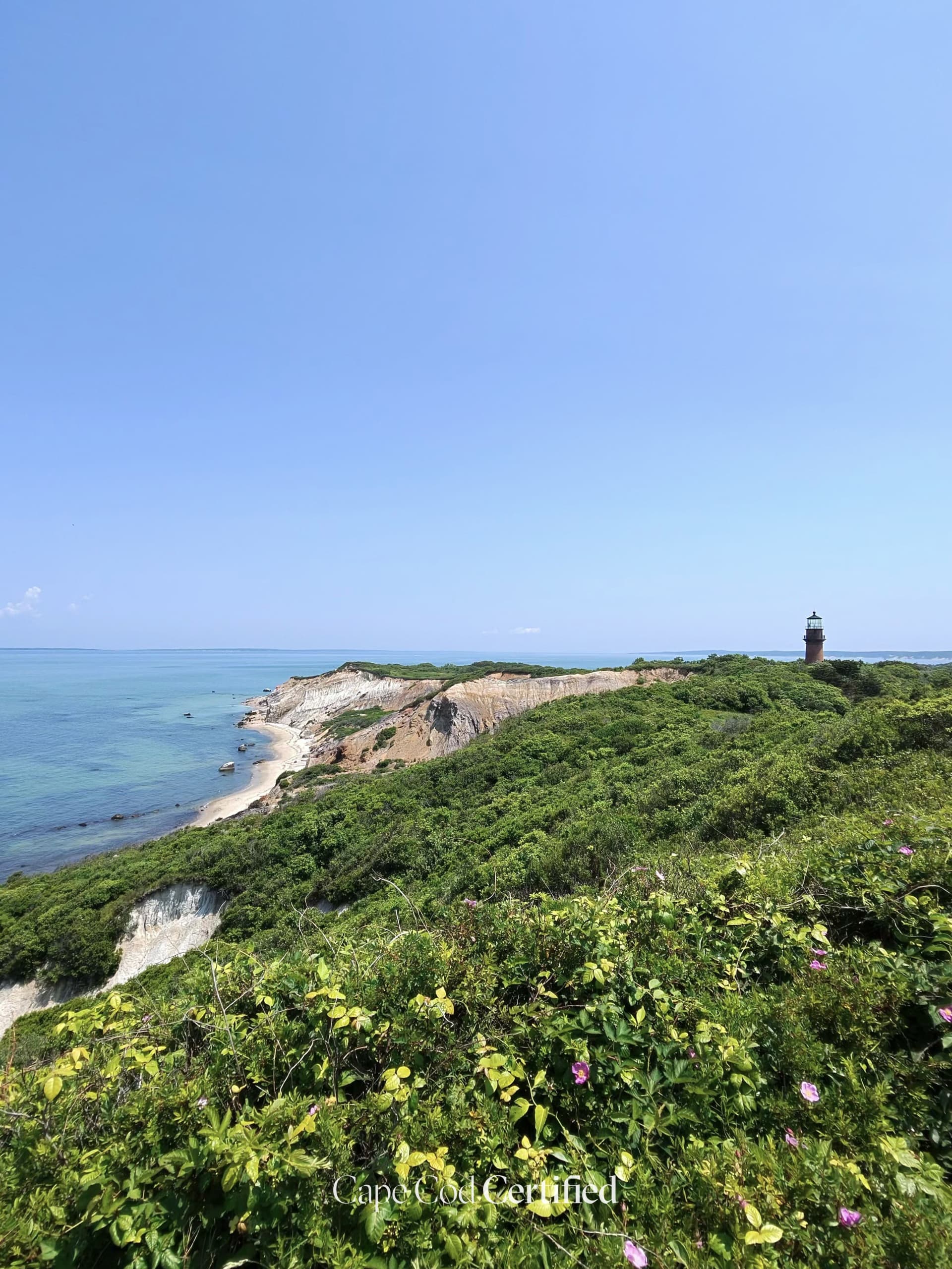
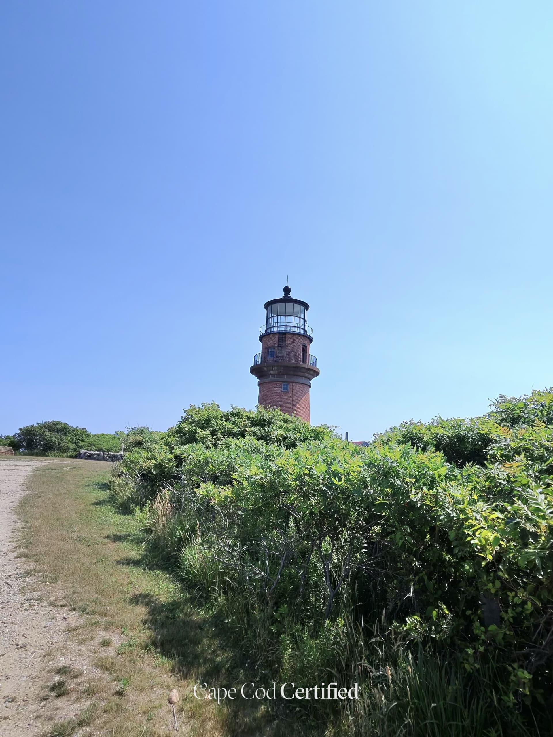
Gay Head Light crowns the dramatic clay cliffs of Aquinnah at Martha's Vineyard's westernmost point — a brick tower first lit in 1799 and famously moved back from the eroding bluff in 2015. It's a short stroll from the Aquinnah Circle shops and overlook, and one of the island's premier sunset perches above the Atlantic.

Plan your walk

Gay Head Lighthouse

When should you go?

Best time to go

Checking today’s weather and sun times…

Weather and sun times from Open-Meteo for the nearest part of the Cape.

What’s the trail like?

Length
0.2 mi
Difficulty
Easy
Surface
Not noted
Dogs
Not noted
Kids
Not noted
Accessible
Not noted
Views
Ocean
Good for
Walking

Where is the trailhead?

Where else can you walk in Aquinnah?

  • Aquinnah Headlands Preserve (South Head Loop), AquinnahEasy

    Aquinnah Headlands Preserve (South Head Loop)

    Mixed · MV Land Bank / Sheriff's Meadow

    A short easy year-round loop through coastal heathland with lighthouse and cliff views down to Moshup Beach. (Local note: AllTrails ~0.9 mi, 4.6 stars — easy, family-friendly, scenic)

    CCC Visited · Verified 2026-10-05

  • Gay Head Cliffs Overlook & Headlands Loop, AquinnahEasy · 0.8 mi

    Gay Head Cliffs Overlook & Headlands Loop

    Mixed · Wampanoag Tribe of Gay Head (Aquinnah) / Town of Aquinnah

    A short scenic walk from the Aquinnah cliffs overlook area along the bluff edge, taking in the dramatic multicolored clay cliffs and the Elizabeth Islands beyond. The loop connects the parking area, viewing platforms, and the short headlands path toward the Gay Head Lighthouse. Sunrise and sunset views are world-class.

    CCC Visited · Verified 2026-10-05

  • Moderate

    Moshup Trail (scenic route)

    Paved · Town of Aquinnah / Land Bank

    A 3.6-mile scenic road from State Rd to Gay Head Light, popular for cycling and walking above the cliffs. (Local note: Cyclists recommend the Lobsterville + Lighthouse loop via Moshup Trail to avoid busy South Rd)

    Listed & Verified · Verified 2026-06-22