Skip to content

Real Cape Cod places, checked by us — not ranked by algorithms.

Explore what's here
ModerateBrewster

Punkhorn Parklands

Listed & VerifiedVerified Jun 19, 2026

Save 3 places you love with a free account. Create your free account

What is Punkhorn Parklands like?

Punkhorn Parklands is a town conservation area of roughly 800 acres in West Brewster, preserved through a series of land acquisitions in the mid-1980s. A large network of trails winds through woodlands, meadows, marshes, ponds and former cranberry bogs, with opportunities for hiking, mountain biking, birding, fishing and paddling. One of the largest and wildest open spaces on the Lower Cape.

Plan your walk

Punkhorn Parklands

Directions to the trailhead (opens in a new tab)

End of Run Hill Road, Brewster, MA 02631

Check conditions before you go. Trail details from Town of Brewster (opens in a new tab)

When should you go?

Best time to go

Checking today’s weather and sun times…

Now42°FOvercast
Wind5 mphFrom the S

Weather and sun times from Open-Meteo for the nearest part of the Cape.

What’s the trail like?

Length
Not noted
Difficulty
Moderate
Surface
Natural trail
Dogs
Allowed (leashed)
Kids
Not noted
Accessible
Not noted
Views
Water
Good for
Hiking, Walking, Birding

What should you know before you go?

Parking

Trailhead parking at the end of paved Run Hill Road.

Dogs

Allowed (leashed)

Managed by

Town of Brewster (Conservation)

What you'll see

Forest, Pond, Salt marsh, Water views, Dog-friendly, Mountain biking

Where is the trailhead?

End of Run Hill Road, Brewster, MA 02631.
Get directions

Where else can you walk in Brewster?

  • Stony Brook Herring Run & Grist Mill Walk, BrewsterEasy · 0.5 mi

    Stony Brook Herring Run & Grist Mill Walk

    Mixed · Town of Brewster

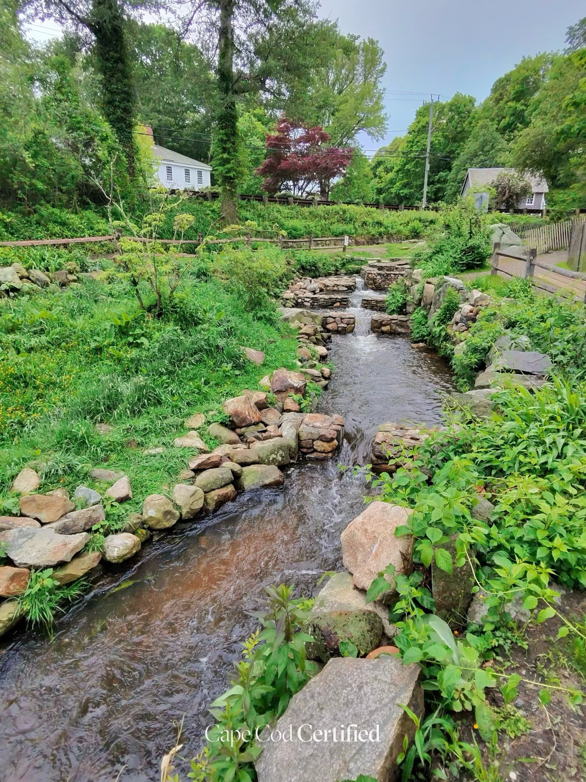
    A short, historically rich walk along Stony Brook past the restored 1873 Grist Mill, where herring (alewives) migrate upstream from Cape Cod Bay to freshwater ponds each spring. Footpaths line both sides of the brook, with a footbridge offering viewing platforms over the fish ladder weirs. Best visited mid-March through early May during the herring run, but scenic year-round.

    CCC Visited · Verified 2026-06-25

  • Cape Cod Rail Trail (Brewster), BrewsterEasy

    Cape Cod Rail Trail (Brewster)

    Paved · Massachusetts DCR (Department of Conservation and Recreation)

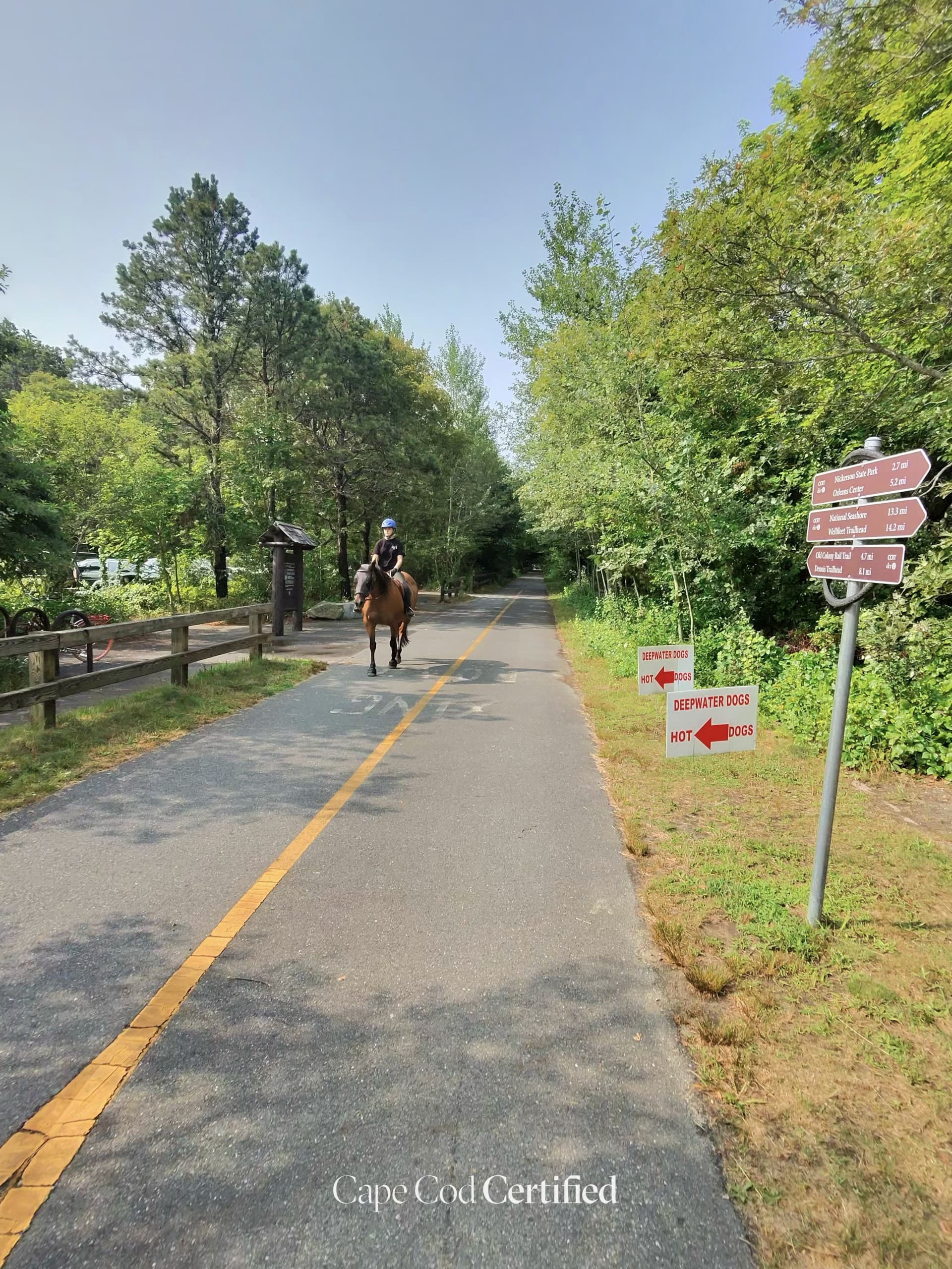
    The Cape Cod Rail Trail is a paved, multi-use path running about 25 miles from Dennis to Wellfleet along a former railroad bed. Its Brewster stretch passes forests, cranberry bogs and ponds, and in East Brewster it connects to the 8 miles of paved trails inside Nickerson State Park. Flat and fully paved, it is ideal for family biking, walking, jogging and wheelchair use.

    CCC Visited · Verified 2026-10-06

    Where to park on the Cape Cod Rail Trail
  • Easy · 0.4 mi

    Drummer Boy Park Loop Trail

    Paved · Town of Brewster Recreation

    A universally accessible 0.4-mile paved loop through a 17-acre historic park anchored by a restored 1795 smock windmill. The path offers open views across Quivett Creek salt marshes and Cape Cod Bay in the distance. Free admission makes this a relaxed stop for all ages. Home to summer craft fairs and Sunday evening band concerts.

    Listed & Verified · Verified 2026-06-25

  • Moderate · 2.5 mi

    Punkhorn Parklands – Eagle Point to Seymour Pond Trail

    Natural trail · Town of Brewster Conservation

    The premier long walk in the Punkhorn Parklands — over 800 acres of Town-owned conservation land in West Brewster. This route winds through oak and pitch pine forest past Upper Mill Pond and Seymour Pond, with sweeping views from Eagle Point. Multiple intersecting trails allow shorter loops from the Run Hill Road parking area. A rare quiet inland wilderness on the Outer Cape.

    Listed & Verified · Verified 2026-06-25

  • Easy · 1.5 mi

    Namskaket Creek Beach Walk

    Sand · Town of Orleans / Orleans Conservation Trust

    A 1.5-mile round-trip beach walk from Skaket Beach across soft tidal sand to Namskaket Creek, a 200-acre saltmarsh straddling Orleans and Brewster. One of the most ecologically significant tidal corridors on the inner Cape, rich with shorebirds, herons, and migratory waterfowl. Part of the emerging Cape Cod Sea Path multi-town coastal route.

    Listed & Verified · Verified 2026-06-25

  • Moderate

    Nickerson State Park Trails

    Mixed · Massachusetts DCR (Department of Conservation and Recreation)

    Nickerson State Park covers roughly 1,900 acres of pine and oak forest dotted with eight freshwater kettle ponds. About 8 miles of paved bike paths wind through the woods past Cliff Pond, Flax Pond and Little Cliff Pond, connecting directly to the Cape Cod Rail Trail. The park also has natural hiking trails and singletrack, plus swimming, fishing and over 400 campsites. A premier spot for biking, hiking and birding in Brewster.

    Listed & Verified · Verified 2026-06-19