Skip to content

Real Cape Cod places, checked by us — not ranked by algorithms.

Explore what's here
Moderate1.8 miChilmark

Abel's Hill Conservation Trail

Listed & VerifiedVerified Jun 25, 2026

Save 3 places you love with a free account. Create your free account

What is Abel's Hill Conservation Trail like?

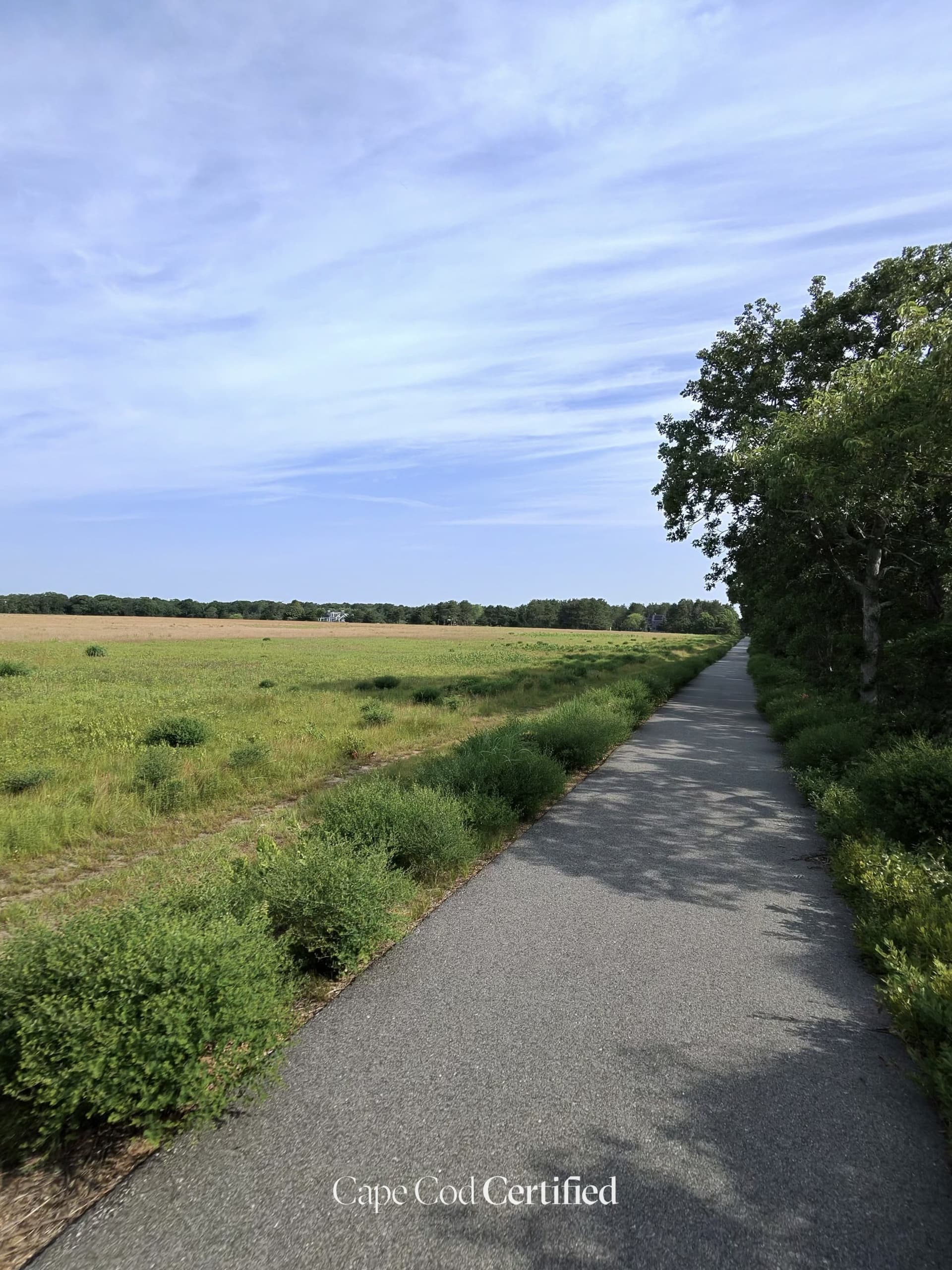
A woodland trail through a Land Bank property near the historic Abel's Hill Cemetery in Chilmark. Rolling terrain through mixed oak and pine with stone walls and seasonal wildflowers. Connects to a quiet corner of the island rarely visited by summer crowds.

Plan your walk

Abel's Hill Conservation Trail

Directions to the trailhead (opens in a new tab)

South Road, Chilmark, MA 02535

Check conditions before you go. Trail details from Martha's Vineyard Land Bank (opens in a new tab)

When should you go?

Best time to go

Checking today’s weather and sun times…

Now47°FOvercast
Wind4 mphFrom the SE

Weather and sun times from Open-Meteo for the nearest part of the Cape.

What’s the trail like?

Length
1.8 mi
Difficulty
Moderate
Surface
Natural trail
Dogs
Allowed (leashed)
Kids
Not noted
Accessible
Not noted
Views
Not noted
Good for
Hiking, Walking

What should you know before you go?

Parking

Small pulloff on South Road near the trailhead.

Dogs

Allowed (leashed)

Managed by

Martha's Vineyard Land Bank

What you'll see

Forest, Dog-friendly

Where is the trailhead?

South Road, Chilmark, MA 02535.
Get directions

Where else can you walk in Chilmark?

  • Oak Bluffs to Menemsha Bike Route, ChilmarkModerate · 17 mi

    Oak Bluffs to Menemsha Bike Route

    Paved

    A scenic ~17-mile bike ride from Oak Bluffs across Martha's Vineyard to Menemsha harbor. Passes farm fields, conservation land, and coastal views of Sengekontacket Pond. Mix of paved paths and quiet roads. Ends at Menemsha fishing village on Vineyard Sound.

    Listed & Verified

  • Moderate

    Waskosim's Rock Reservation

    Natural trail · Martha's Vineyard Land Bank

    A ~191-acre preserve with ~3 miles of trails to the historic Waskosim's Rock boulder and homestead ruins. (Local note: Among the best Chilmark nature areas; ~3 mi of public trails)

    Listed & Verified · Verified 2026-06-22

  • Moderate

    Peaked Hill Reservation

    Mixed · Martha's Vineyard Land Bank

    A ~150-acre reservation climbing to the 311-ft summit of Martha's Vineyard with WWII relics and sweeping views. (Local note: Sits at the island's 311-ft high point with public trail access off Tabor House Rd)

    Listed & Verified · Verified 2026-06-22

  • Moderate

    Menemsha Hills Reservation

    Natural trail · The Trustees of Reservations

    A 3-mile network climbing 308-ft Prospect Hill with panoramic Sound views and a trail to a quiet beach. (Local note: AllTrails 153+ reviews rate it a top Chilmark hike; open year-round, free)

    Listed & Verified · Verified 2026-06-22

  • Moderate · 3 mi

    Tea Lane Conservation Trail

    Natural trail · Martha's Vineyard Land Bank

    A series of connected Land Bank parcels along Tea Lane in Chilmark offering trails through mature oak forest, stone-wall-lined paths, and open meadows. The area is rich in breeding songbirds and wildflowers. Multiple access points allow customizable loops.

    Listed & Verified · Verified 2026-06-25

  • Easy · 1.4 mi

    Great Rock Bight Preserve Trail

    Natural trail · Martha's Vineyard Land Bank

    A short woodland trail descending through oak scrub to a secluded north-shore pebble-and-sand beach on Vineyard Sound. The preserve features dramatic glacial boulders (including the namesake 'Great Rock'), coastal heathland, and sweeping views toward Cape Cod. Combine the beach and forest for a complete outing.

    Listed & Verified · Verified 2026-06-25