Skip to content

Real Cape Cod places, checked by us — not ranked by algorithms.

Explore what's here
1 / 3
Easy1 miPlymouth

Ellisville Harbor State Park

CCC VisitedVerified Jun 25, 2026

Save 3 places you love with a free account. Create your free account

What is Ellisville Harbor State Park like?

A coastal state park where a wide ridge trail above the salt marsh delivers sweeping views of Cape Cod Bay before wooden steps descend to a rocky barrier beach.

Plan your walk

Ellisville Harbor State Park

Directions to the trailhead (opens in a new tab)

1861 State Road (Route 3A), Plymouth, MA 02360

Check conditions before you go. Trail details from Massachusetts DCR (opens in a new tab)

When should you go?

Best time to go

Checking today’s weather and sun times…

Now40°FOvercast
Wind5 mphFrom the SW

Weather and sun times from Open-Meteo for the nearest part of the Cape.

What’s the trail like?

Length
1 mi
Difficulty
Easy
Surface
Mixed
Dogs
Allowed (leashed)
Kids
Not noted
Accessible
Not noted
Views
Ocean
Good for
Walking, Hiking, Beach walk

What should you know before you go?

Parking

Large on-site parking lot at 1861 State Road; park open daily.

Dogs

Allowed (leashed)

Managed by

Massachusetts DCR

What you'll see

Ocean views, Water views, Salt marsh, Forest, Dog-friendly, Bird sanctuary

Where is the trailhead?

1861 State Road (Route 3A), Plymouth, MA 02360.
Get directions

Where else can you walk in Plymouth?

  • Manomet Point (Scenic Drive — Stop & View), PlymouthEasy

    Manomet Point (Scenic Drive — Stop & View)

    Town of Plymouth (Manomet Point Road Landing)

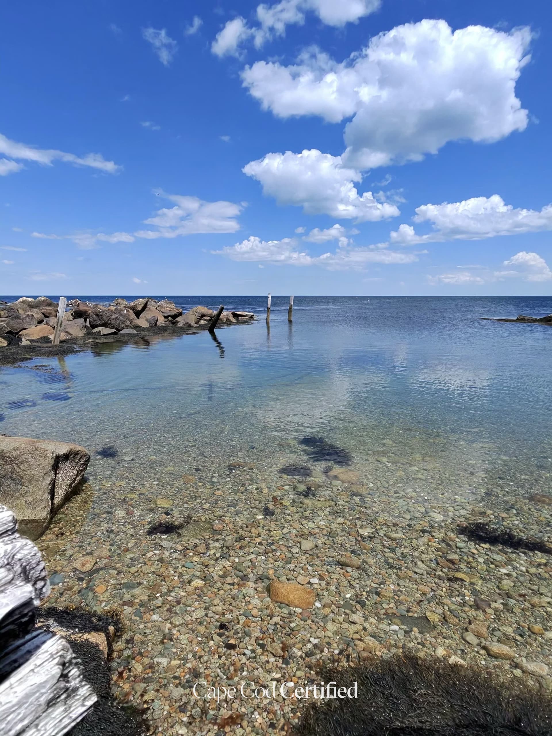
    Manomet Point is a rocky headland in Plymouth's Manomet village, where granite boulders, old timber pilings and clear, shallow water meet the open bay. It's best enjoyed as a scenic drive: take it slow along Manomet Point Road, pull over only where it's legal, and take in the view. The point is ringed by private homes, so stay on the public way — the Town of Plymouth's Manomet Point Road Landing is the nearby public access, a small boat ramp.

    CCC Visited · Verified 2026-10-06

  • Plymouth Rock & Pilgrim Memorial State Park, PlymouthEasy

    Plymouth Rock & Pilgrim Memorial State Park

    Paved · Massachusetts DCR

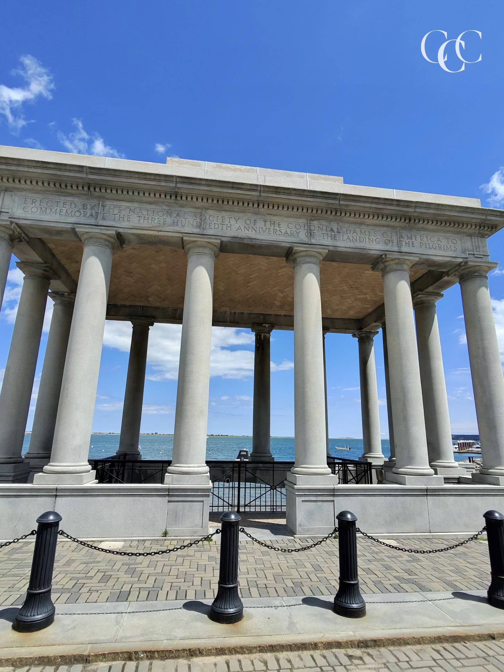
    Pilgrim Memorial State Park is Plymouth's waterfront park, home to Plymouth Rock under its granite portico and to the Mayflower II museum ship (run by Plimoth Patuxet Museums). Paved, accessible paths lead to the Rock, the Pilgrim Mother Garden and the William Bradford statue, with wide views of Plymouth Harbor along the way. The park is open sunrise to sunset, has restrooms, and welcomes dogs.

    CCC Visited · Verified 2026-10-06

  • Easy · 2 mi

    Ellisville Harbor State Park Beach Walk

    Mixed · Massachusetts DCR

    A coastal walk through Ellisville Harbor State Park, transitioning from upland pine forest paths to a barrier beach and tidal marsh overlooking Cape Cod Bay. The harbor mouth is a nesting and staging area for terns and shorebirds. One of the most peaceful and wild coastal walks on the South Shore.

    Listed & Verified · Verified 2026-06-25

  • Easy · 1.8 mi

    Morton Park Trail (Eel River)

    Natural trail · Town of Plymouth

    A loop trail around Little Pond within Morton Park, following the Eel River corridor. The trail passes through mature pine-oak forest and along the scenic pond shoreline. Connects to the park beach area. Good for families looking for a shaded walk adjacent to the swimming pond.

    Listed & Verified · Verified 2026-06-25

  • Easy · 4 mi

    Tidmarsh Wildlife Sanctuary Loop

    Natural trail · Mass Audubon

    Trails through the largest freshwater wetland restoration project in New England. Former cranberry bogs have been converted back to natural wetlands, creating exceptional wildlife habitat. Over 200 bird species recorded here. Boardwalk sections span open water areas, and views across the restored marsh are spectacular.

    Listed & Verified · Verified 2026-06-25

  • Moderate · 13 mi

    Myles Standish State Forest

    Natural trail · Massachusetts DCR

    The largest publicly owned recreation area in southeastern Massachusetts, with roughly 13 miles of hiking trails, 15 miles of bike trails, and 35 miles of equestrian trails winding among pine barrens and kettle ponds.

    Listed & Verified · Verified 2026-06-19