Skip to content

Real Cape Cod places, checked by us — not ranked by algorithms.

Explore what's here
EasyWareham

Bryant Farm

Listed & VerifiedVerified Jun 19, 2026

Save 3 places you love with a free account. Create your free account

What is Bryant Farm like?

A Wareham Land Trust property with scenic woodland paths that connect directly into the adjacent Minot Forest trail network, extending walks through pine and oak woods. Trail access is via the Golf Shots Driving Range off Route 6. Open dawn to dusk.

Plan your walk

Bryant Farm

Directions to the trailhead (opens in a new tab)

Check conditions before you go. Trail details from Wareham Land Trust (opens in a new tab)

When should you go?

Best time to go

Checking today’s weather and sun times…

Now46°FOvercast
Wind3 mphFrom the SE

Weather and sun times from Open-Meteo for the nearest part of the Cape.

What’s the trail like?

Length
Not noted
Difficulty
Easy
Surface
Natural trail
Dogs
Allowed (leashed)
Kids
Kid-friendly
Accessible
Not noted
Views
Not noted
Good for
Walking, Hiking, Birding

What should you know before you go?

Dogs

Allowed (leashed)

Managed by

Wareham Land Trust

What you'll see

Forest, Kid-friendly, Dog-friendly, Bird sanctuary
Where is the trailhead?

Where else can you walk in Wareham?

  • Besse Park & Pier, WarehamEasy

    Besse Park & Pier

    Town of Wareham

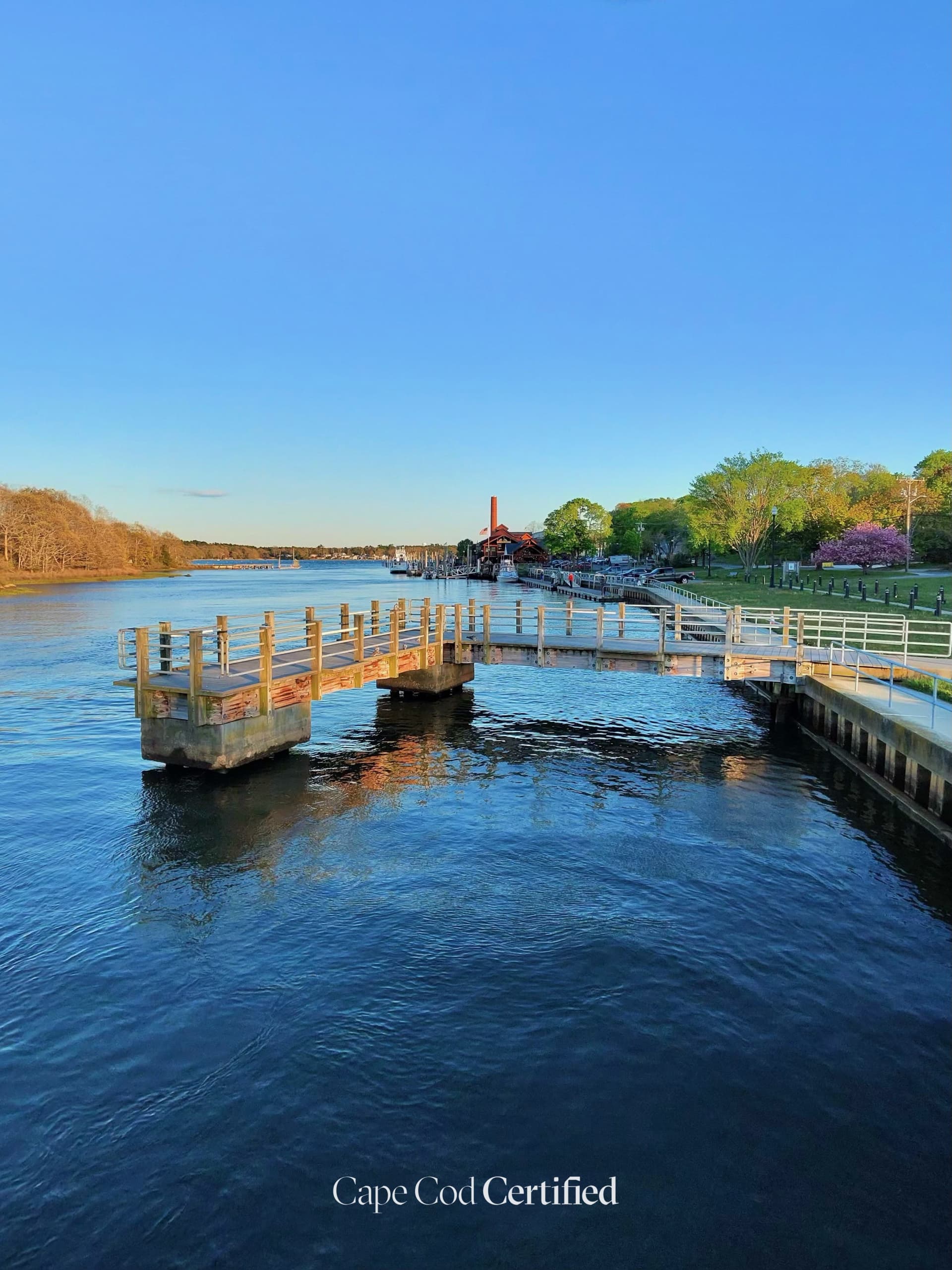
    Besse Park sits on The Narrows in Wareham Center, where the freshwater Agawam and Wankinco rivers meet to form the Wareham River. The town-owned park has a grassy lawn with picnic tables, a wooden sport fishing pier and a floating dock, and the Buzzards Bay Coalition notes that anglers line up here each spring for schoolie stripers heading up the river. It's an easy spot for a waterside stroll or to sit and watch the evening light on the river. The Coalition lists it as open dawn to dusk, with a small paved lot, ADA access and leashed dogs welcome.

    CCC Visited · Verified 2026-10-06

  • Moderate · 15 mi

    Wareham State Forest Trails

    Natural trail · Massachusetts DCR

    An extensive trail network through Wareham State Forest's pine-oak woodlands in the coastal plain. Over 15 miles of marked and unmarked paths wind past Charge Pond and numerous smaller kettle holes. Popular with mountain bikers, hikers, and equestrians. A good spot for solitude year-round.

    Listed & Verified · Verified 2026-06-25

  • Easy · 2.2 mi

    Agawam River Greenway Trail

    Mixed · Town of Wareham Conservation Commission

    A riparian trail following the Agawam River through Wareham center. The path passes through wooded buffers, open meadow sections, and wetland edges. Good for casual walks and birding, especially for wading birds along the river corridor.

    Listed & Verified · Verified 2026-06-25

  • Easy · 2.5 mi

    Great Neck Wildlife Sanctuary Trail

    Natural trail · Mass Audubon

    A quiet trail system through coastal shrubland, pine barrens, and open freshwater wetlands on the Great Neck peninsula. The sanctuary borders Buzzards Bay inlets, making it exceptional for shorebird and waterfowl observation. Mostly flat terrain on well-maintained paths.

    Listed & Verified · Verified 2026-06-25

  • Easy

    Minot Forest

    Natural trail · Wareham Land Trust & Town of Wareham (co-managed)

    One of Wareham's most accessible and well-loved natural areas, Minot Forest offers a network of intersecting woodland trails through pine and oak uplands, with pockets of red maple swamp, vernal pools, and scattered glacial boulders. Trails are mostly flat though they may be muddy or uneven seasonally. The wider protected block (with New England Forestry Foundation and partners) totals roughly 484 acres and 8.5 miles of trails, connecting to adjacent Bryant Farm. Wildlife includes songbirds, deer, and amphibians. Open dawn to dusk.

    Listed & Verified · Verified 2026-06-19

  • Easy · 4 mi

    Great Neck Wildlife Sanctuary

    Natural trail · Mass Audubon

    A 217-acre coastal sanctuary of pine forest and salt marsh on Buzzards Bay, with about four miles of easy looping trails. The Huckleberry Loop and adjoining Old Pasture Loop make the longest walk at 2.2 miles; the Heron Point Loop (about 0.9 mi) leads to an Osprey Overlook with views over protected Bass Cove, and the Widows Cove Loop reaches a sandy beach with shorebird and Buzzards Bay views. Active osprey platforms, interpretive panels, and quarrying history are highlights. Wildlife includes great blue herons, eastern box turtles, deer, and great horned owls. Open dawn to dusk; dogs are not permitted.

    Listed & Verified · Verified 2026-06-19