Cape Cod Canal Bikeway (North Side / Service Road)
Listed & VerifiedVerified Jun 19, 2026
Saved places stay in your account, on any device.
What is Cape Cod Canal Bikeway (North Side / Service Road) like?
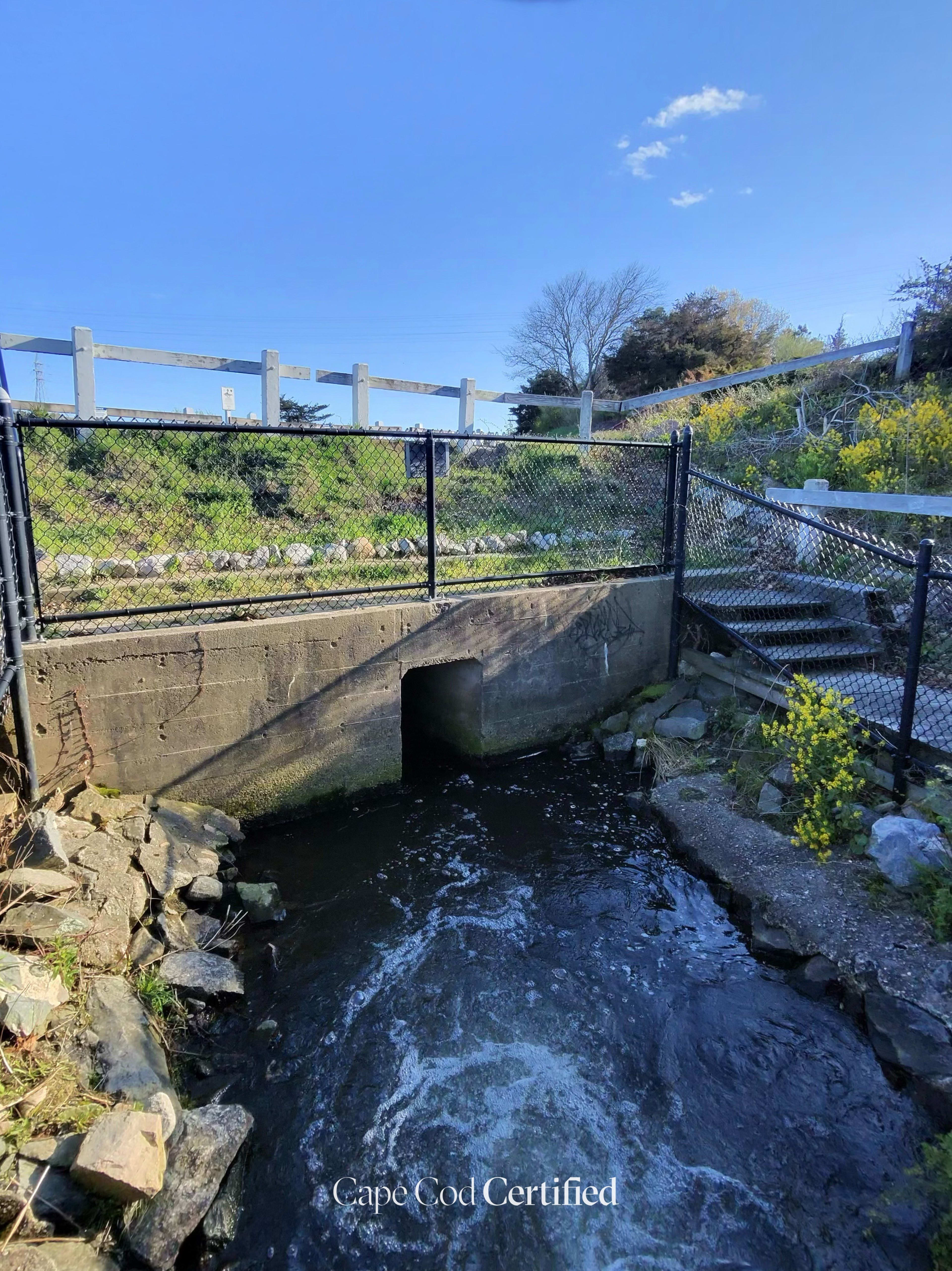
The north-side paved service road of the Cape Cod Canal runs about 7 miles from the railroad bridge area toward Sandwich, maintained by the Army Corps of Engineers and open to the public. Flat and fully accessible, with canal views, the Herring Run, and frequent ship traffic. Connects recreation areas for biking, walking, and fishing.
Plan your walk
Cape Cod Canal Bikeway (North Side / Service Road)
Herring Run Recreation Area, Rte 6 (Scenic Hwy), Bourne, MA 02532
When should you go?
Best time to go
Checking today’s weather and sun times…
What’s the trail like?
- Length
- 7 mi
- Difficulty
- Easy
- Surface
- Paved
- Dogs
- Allowed (leashed)
- Kids
- Kid-friendly
- Accessible
- Wheelchair, Stroller
- Views
- Water
- Good for
- Biking, Walking, Birding
What should you know before you go?
Parking
Free lot at Herring Run Recreation Area and the Sagamore Recreation Area
Dogs
Allowed (leashed)
Managed by
U.S. Army Corps of Engineers, Cape Cod Canal Field Office
What you'll see
Water views, Wheelchair accessible, Stroller-friendly, Kid-friendly, Dog-friendly
Where is the trailhead?
Herring Run Recreation Area, Rte 6 (Scenic Hwy), Bourne, MA 02532.