Wings Cove Beach
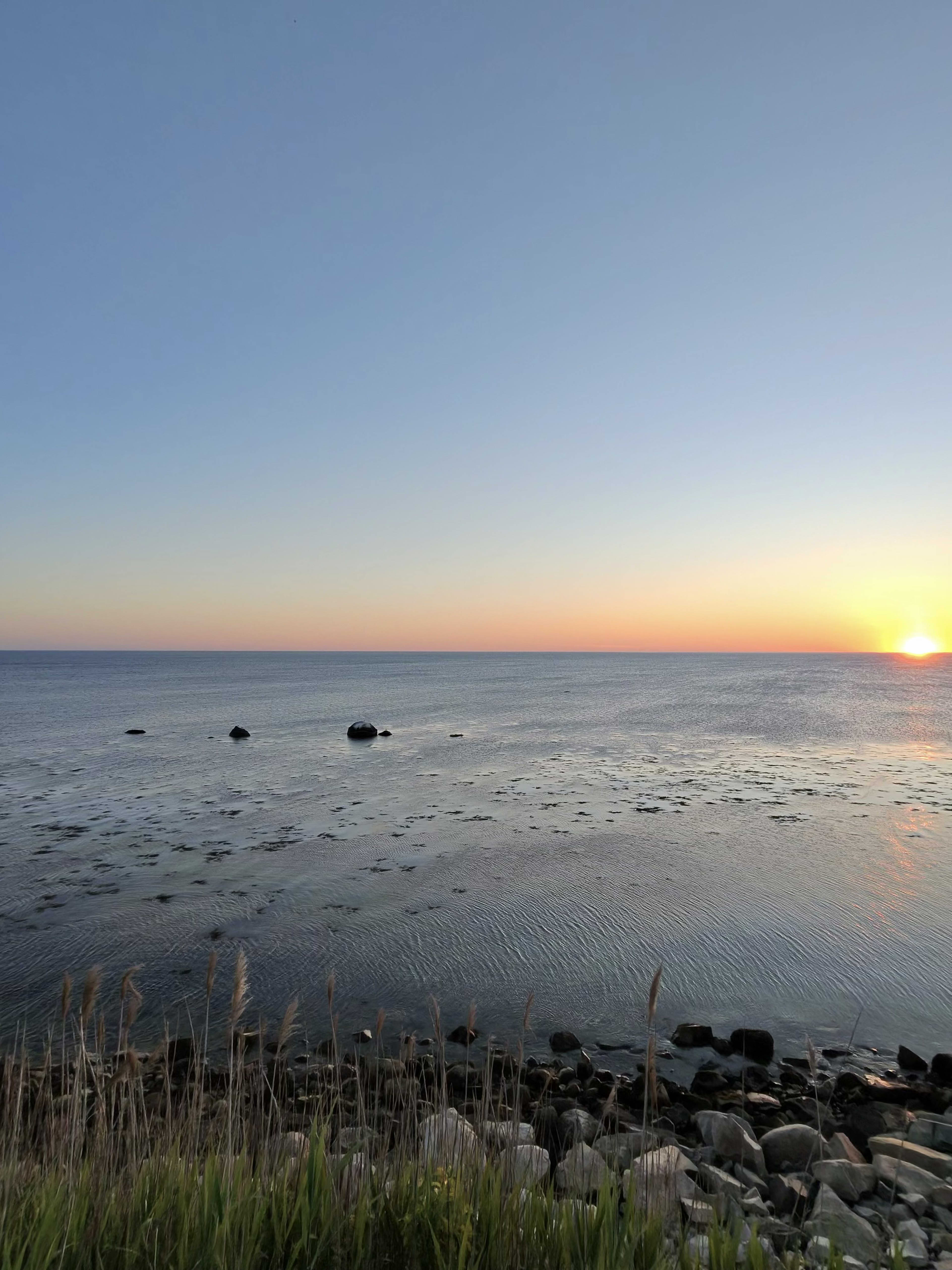
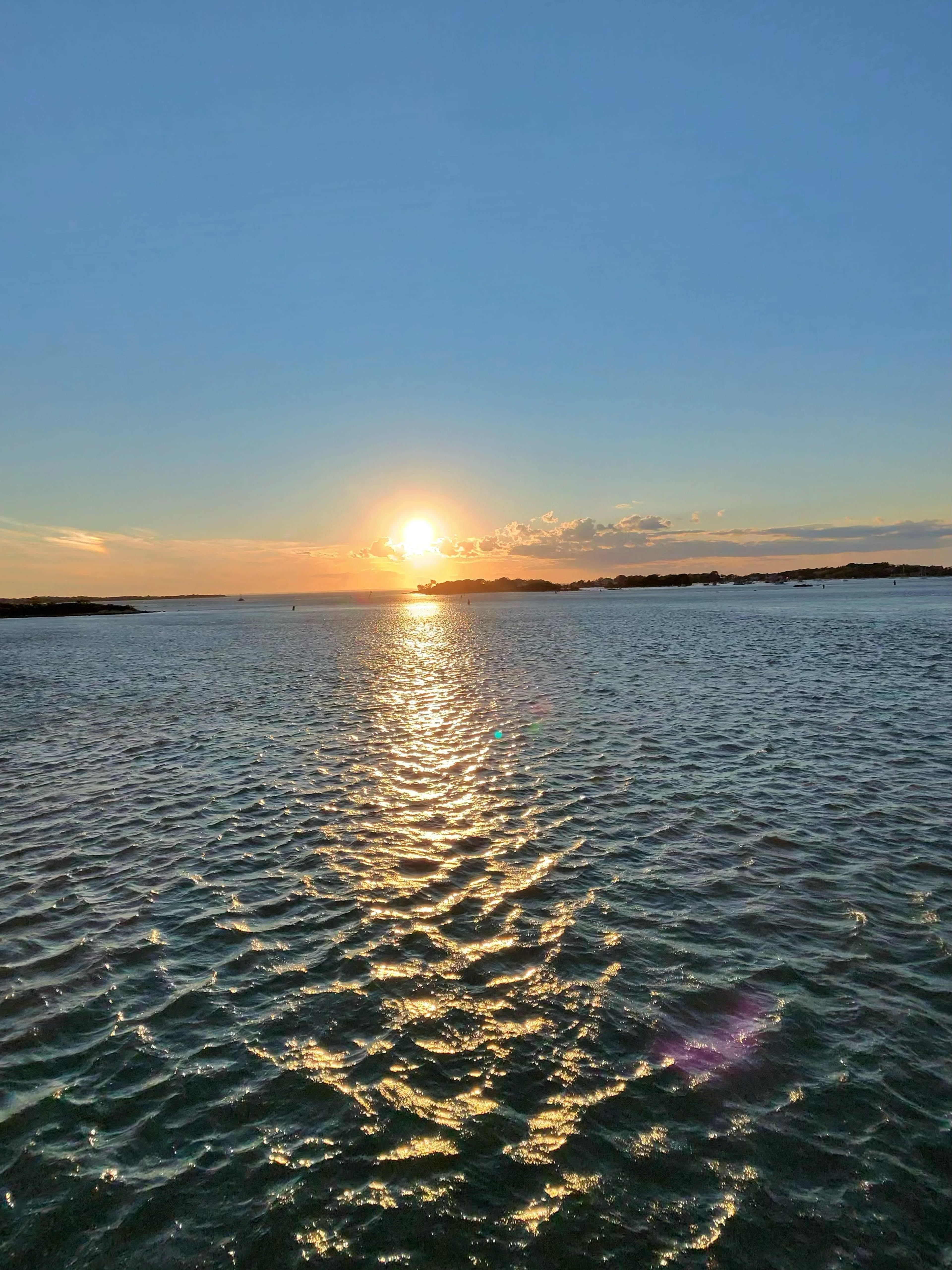
Quiet cove beach on Buzzards Bay in the Wings Neck area of Bourne. Calm, protected waters make it ideal for kayaking and small-boat launching. Limited parking; mostly accessed by local residents.
Every place below is listed and verified by Cape Cod Certified.


Visiting Cape Cod
Steamship Authority vs Hy-Line, car vs walk-on, parking, standby lines — everything you need to get the Cape Cod ferry right in 2026. Real costs, real timing.

Visiting Cape Cod
A Cape Cod local ranks the 15 best lobster rolls of 2026 — with real prices, meat-per-ounce data, and the spots actually worth the wait or the drive.

Visiting Cape Cod
When to cross the Sagamore and Bourne Bridges to avoid Cape Cod traffic in 2026, with hour-by-hour timing, construction updates, and local workarounds.
Beach DayExplore hidden coves, tidal rivers and moonlit harbors on guided paddles for every skill level. Gear and instruction included on the calm upper Cape.
Cape ClassicsBike Rentals — Bourne with Buzzards Bay Bikes in Bourne. Book on Cape Cod Certified.
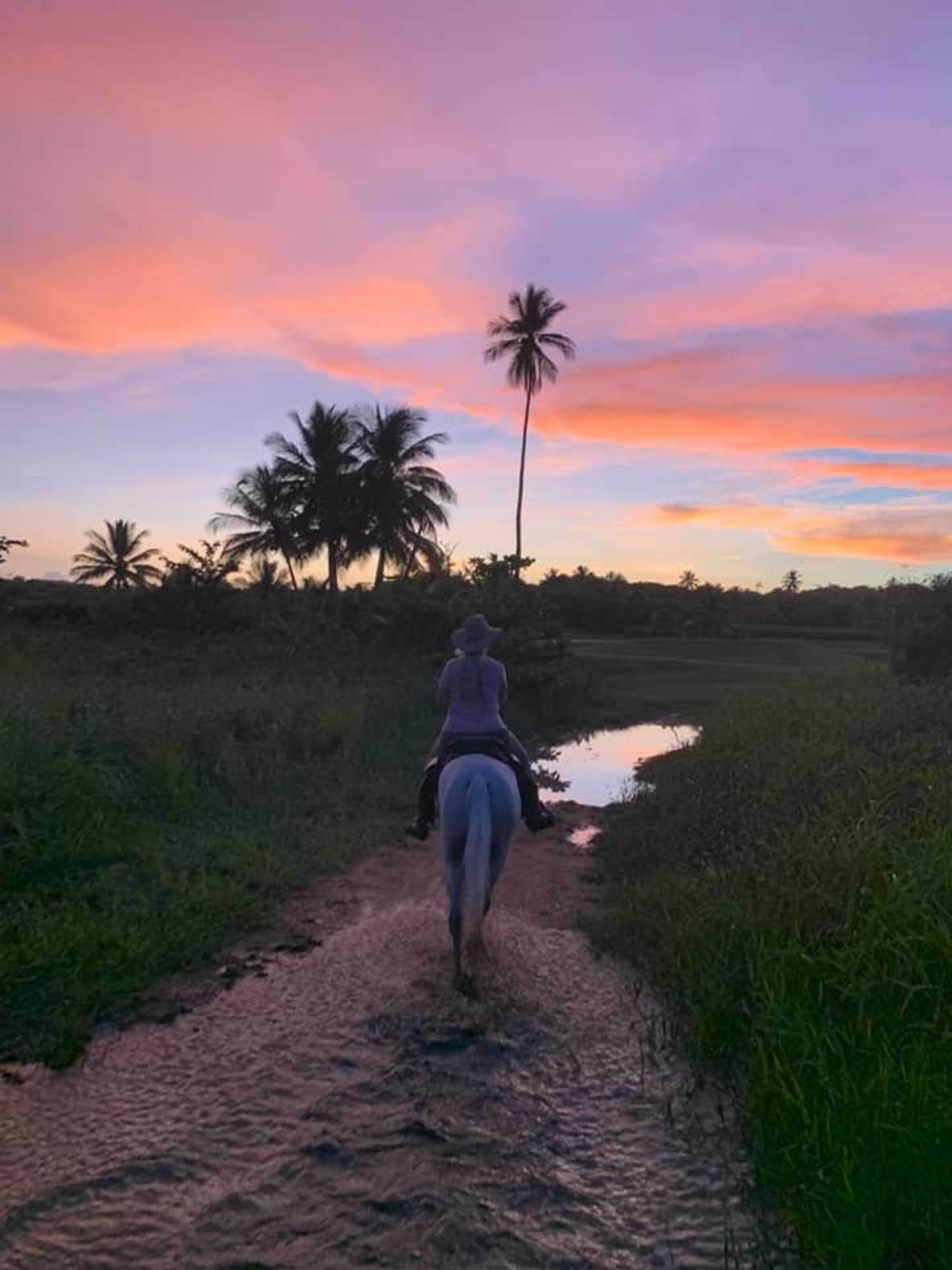
Cape ClassicsPrivate Sunset Tour with Island View Stable in Bourne. Book on Cape Cod Certified.
Guest WeekendRent a bike and explore the Cape Cod Canal Bike Path with a bike rental. Choose from a variety of bikes to suit your needs and preferences.
Quiet cove beach on Buzzards Bay in the Wings Neck area of Bourne. Calm, protected waters make it ideal for kayaking and small-boat launching. Limited parking; mostly accessed by local residents.
Small sandy beach at Barlow's Landing on Red Brook Harbor, part of the Pocasset waterfront. Popular for kayak and canoe launches onto the harbor. Calm protected water with views toward Buzzards Bay.
A long stretch of Cape Cod Bay shoreline on the north side of the Cape Cod Canal, split into First Beach and Second Beach. Open water and sweeping sand make it a favorite for residents who want a quieter beach day; parking is limited to Bourne sticker holders.
A 380-acre DCR state reservation at the eastern end of the Cape Cod Canal on Cape Cod Bay. Open to the public for a daily fee, with a bathhouse, restrooms, rinse showers, seasonal lifeguards, a fishing pier, a 100-site campground, and trails along the canal. Leashed dogs permitted April 1-Sept 30 in designated areas.
A sheltered cove beach in Pocasset on Hen Cove, with very calm, shallow water that is good for young families. Has restrooms and a boat ramp for kayaks and small craft.
A Buzzards Bay beach and boat ramp in Pocasset with calm, protected water. A neighborhood favorite for swimming and launching small boats and kayaks.
A small, tucked-away harbor beach in the Cataumet section on Squeteague Harbor. No facilities and limited parking, but calm protected water and a quiet setting for paddling, shellfishing and shoreline walks.
A town-owned freshwater pond (also called Flax Pond) in Pocasset with a long sandy shoreline and warm, shallow water that is great for swimming and wading. Rarely crowded - a quiet alternative to the saltwater beaches.
The south service road alongside the Cape Cod Canal runs from the Bourne Bridge area east toward Sandwich. This flat, paved path is shared with the north side bikeway and offers views of canal ship traffic, the Bourne and Sagamore Bridges, and Buzzards Bay. Connects to Buzzards Bay village and multiple access points.
A network of footpaths through conservation land along the Pocasset River corridor in Bourne. The trail winds through mixed hardwood forest and past freshwater wetlands. Good birding in spring and fall migration periods.
A 125-acre town forest in Pocasset with four man-made ponds set in an oak-pine forest. The Eagle, Lions, Pine, and Town Forest trails leave from the Barlows Landing Road lot; short Basin and Freeman Pond loops suit casual walkers, while the Pine and Town Forest trails run over three miles past Upper Pond. Popular for hiking, easy mountain biking, birding, and freshwater fishing.
A Bourne Conservation Trust property in Pocasset with about a mile of well-marked, sandy looping trails through woods, past working cranberry bogs, and along Red Brook Pond. The full loop takes roughly an hour; a short loop near the lot leads straight to the shoreline, where benches sit along the water. Great for an easy family walk and birding.
A 22-acre Bourne Conservation Trust woodland between Route 28 and Buzzards Bay near Monument Beach. The 0.6-mile Loop Trail climbs steep, hilly woods to scenic vistas and drops to a stream, mill pond, and working cranberry bog. Home to barred and great horned owls. Expect 30 minutes to an hour to complete.
A 21-acre Bourne Conservation Trust area with a half-mile Loop Trail through rolling pine forest plus sandy paths out to a scenic peninsula on upper Buzzards Bay. Views of wooded Tobey Island; a kayak launch and picnic tables on site. Good for an easy woodland hike, beach walk, shellfishing, and birding.
A 210-acre Trustees of Reservations nature reserve spanning Bourne, Plymouth, and Wareham at the mouth of Red Brook on Buttermilk Bay. About 1.5 miles of trails wind through pine woods and salt marsh to a quiet beach. Red Brook is one of the last strongholds of sea-run brook trout (salters) in the eastern U.S. Connects to the broader Red Brook Trail Network.
The north-side paved service road of the Cape Cod Canal runs about 7 miles from the railroad bridge area toward Sandwich, maintained by the Army Corps of Engineers and open to the public. Flat and fully accessible, with canal views, the Herring Run, and frequent ship traffic. Connects recreation areas for biking, walking, and fishing.
A Bourne Conservation Trust property with quiet walking trails through woodland, part of the Trust's network of over 350 acres of open space in Bourne. Good for a short forest walk and birding. Trail map available from the Bourne Conservation Trust.