Fox Island Marsh & Whalebone Point
CCC VisitedVerified Oct 6, 2026
Saved places stay in your account, on any device.
What is Fox Island Marsh & Whalebone Point like?
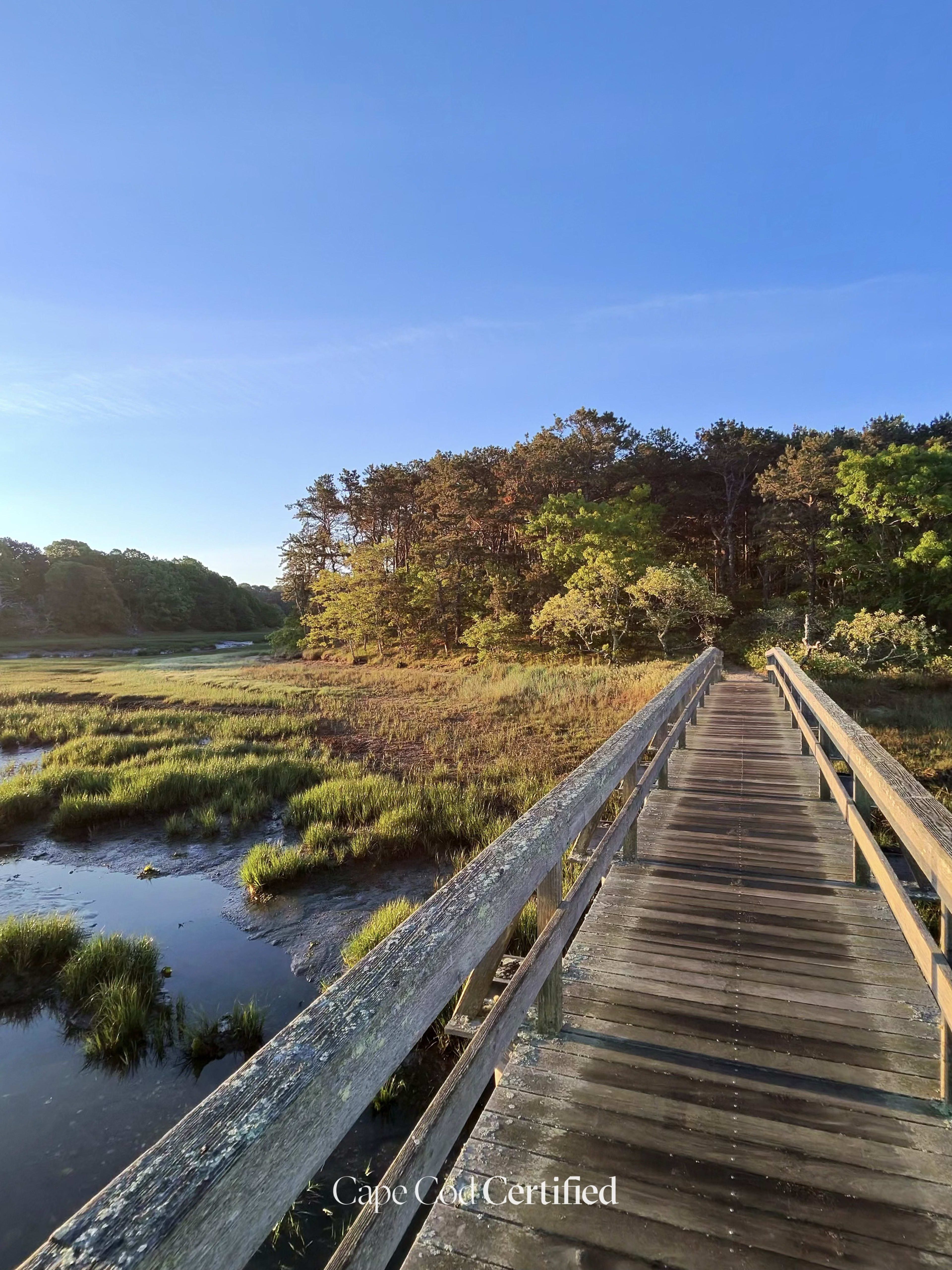
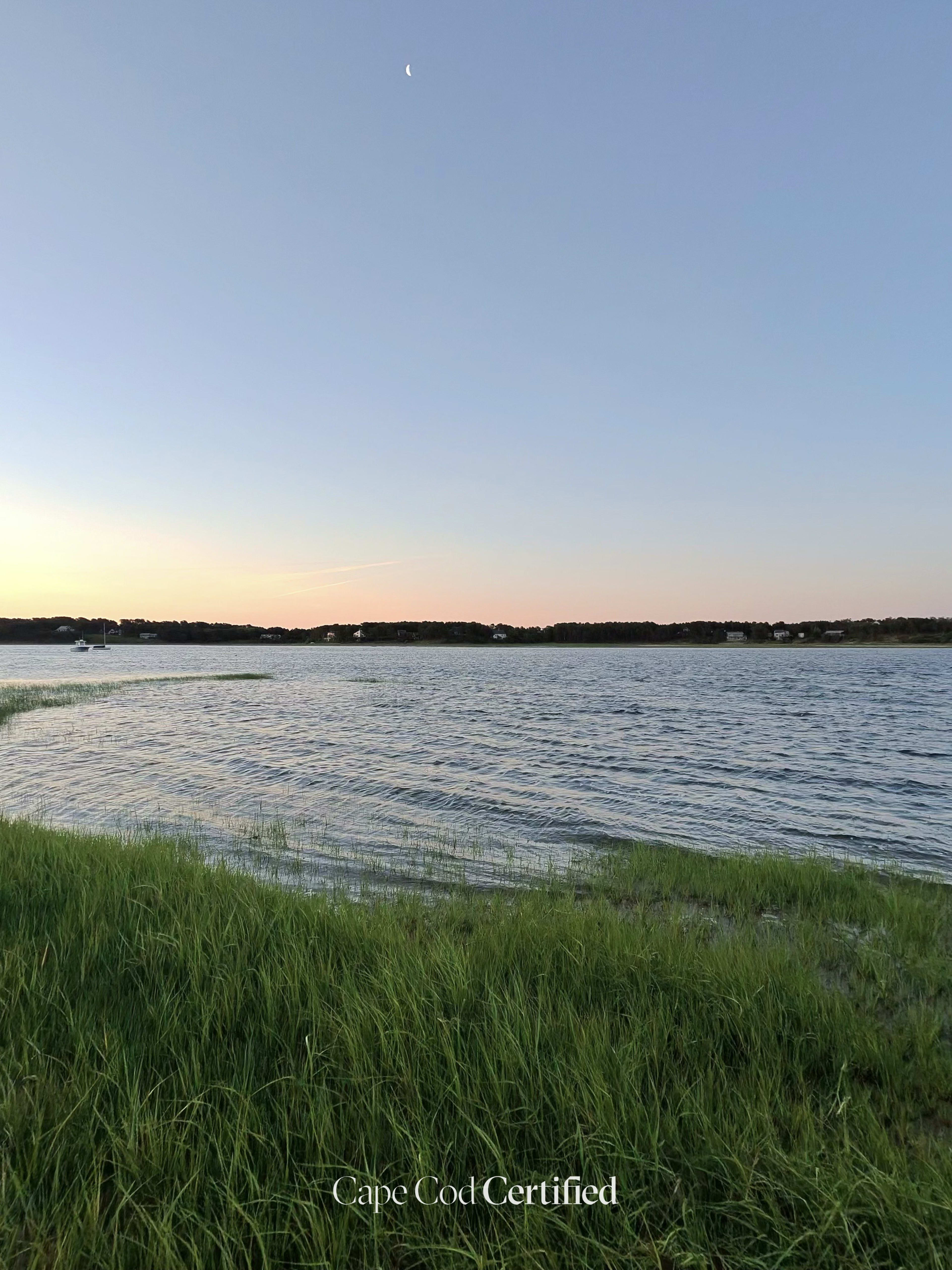
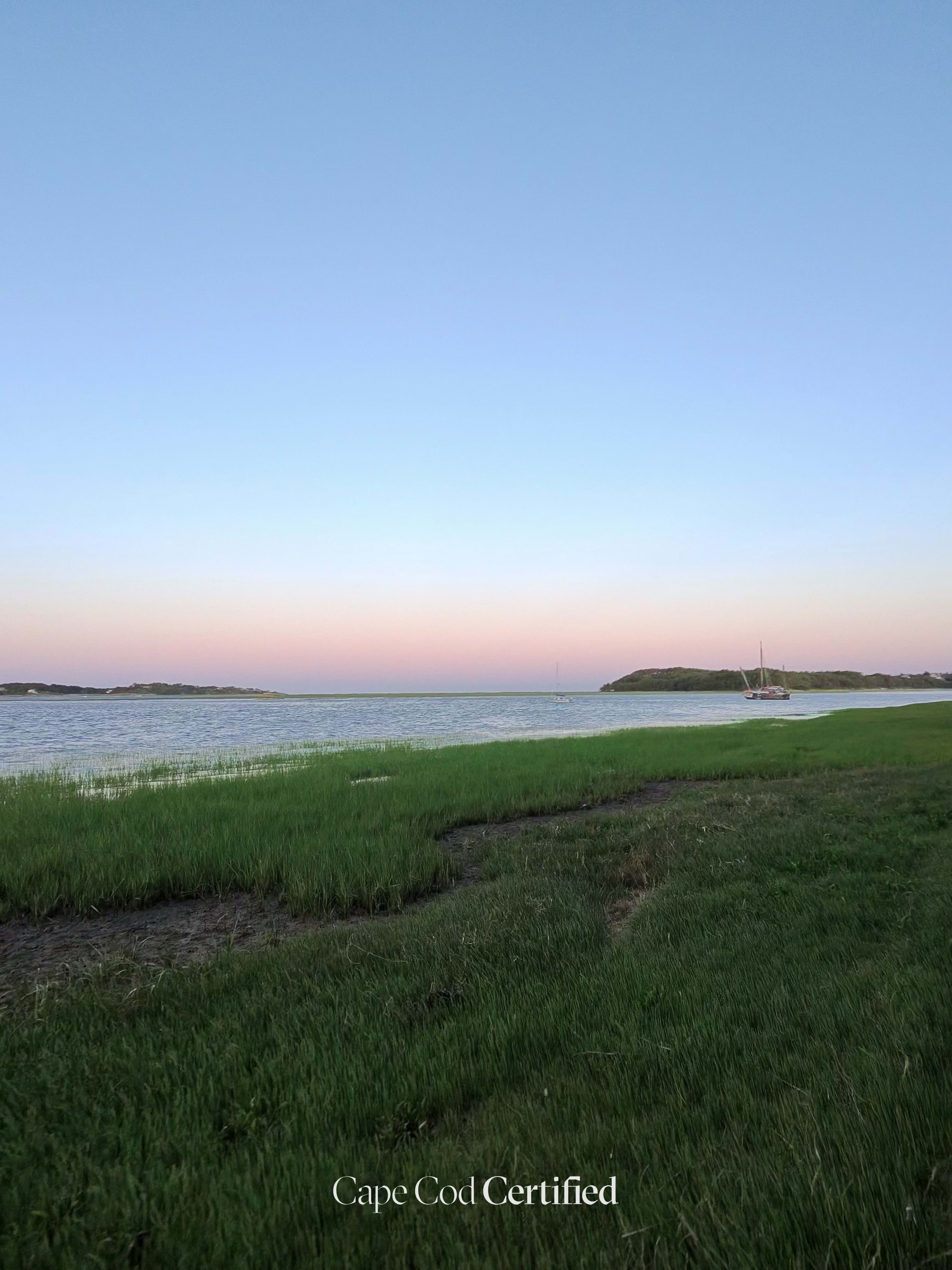
This Wellfleet Conservation Trust trail network runs through pitch pine and oak woods between Baker Road and Pilgrim Spring Road, opening onto wide views of Fox Island Marsh and Blackfish Creek. The Trust calls the vista from Whale Bone Point the jewel of the property, and its 2.14 miles of linked trails let you make the walk as short or as long as you like. Sandy paths follow the marsh edge, where the green grass meets the tidal water. The neighboring state Fox Island Wildlife Management Area is open for hiking and wildlife viewing, and also for hunting, so wear bright colors in the fall.
Plan your walk
Fox Island Marsh & Whalebone Point
Baker Road trailhead (end of the dirt extension of Baker Rd, off Paine Hollow Rd), Wellfleet, MA 02667
When should you go?
Best time to go
Checking today’s weather and sun times…
What’s the trail like?
- Length
- 2.14 mi
- Difficulty
- Easy
- Surface
- Natural trail
- Dogs
- Not noted
- Kids
- Not noted
- Accessible
- Not noted
- Views
- Water
- Good for
- Walking, Hiking, Birding
What should you know before you go?
Parking
Trailhead lot at the end of the dirt extension of Baker Road (off Paine Hollow Rd via Way 112); second lot on Pilgrim Spring Road (wellfleetconservationtrust.org)
Managed by
Wellfleet Conservation Trust (trails); adjoining Fox Island WMA is MassWildlife
What you'll see
Salt marsh, Forest, Water views
Where is the trailhead?
Baker Road trailhead (end of the dirt extension of Baker Rd, off Paine Hollow Rd), Wellfleet, MA 02667.