Herring River Marsh Walk
CCC VisitedVerified Oct 8, 2026
Save 3 places you love with a free account. Create your free account
What is Herring River Marsh Walk like?
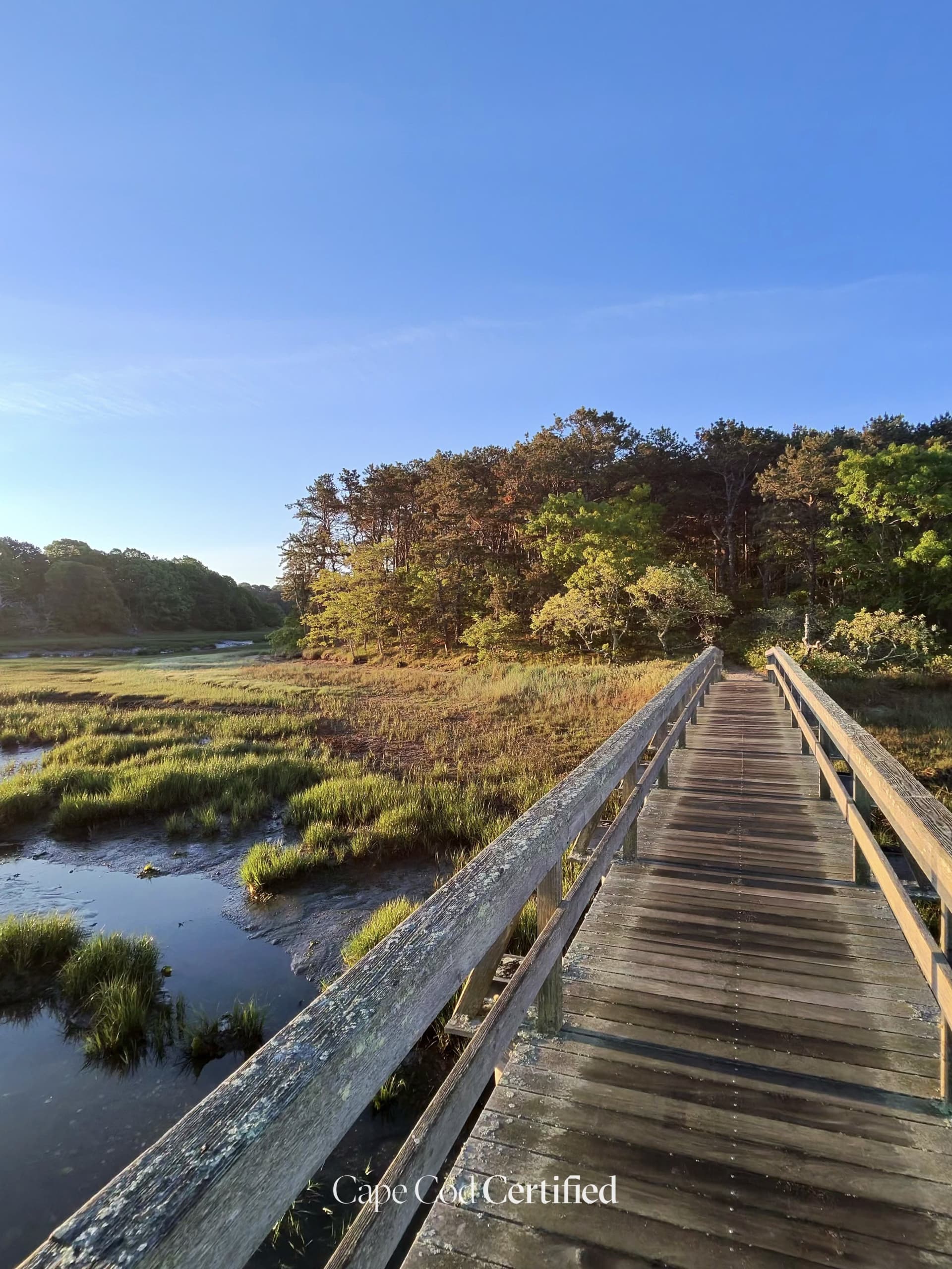
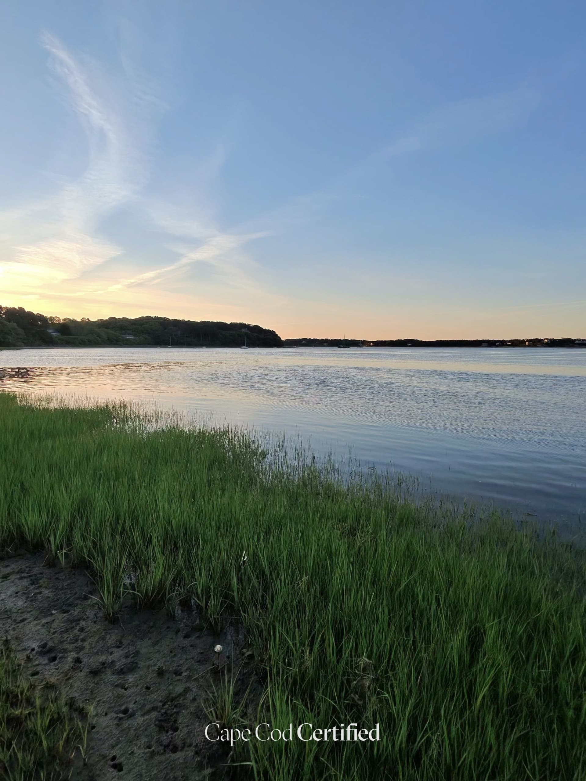
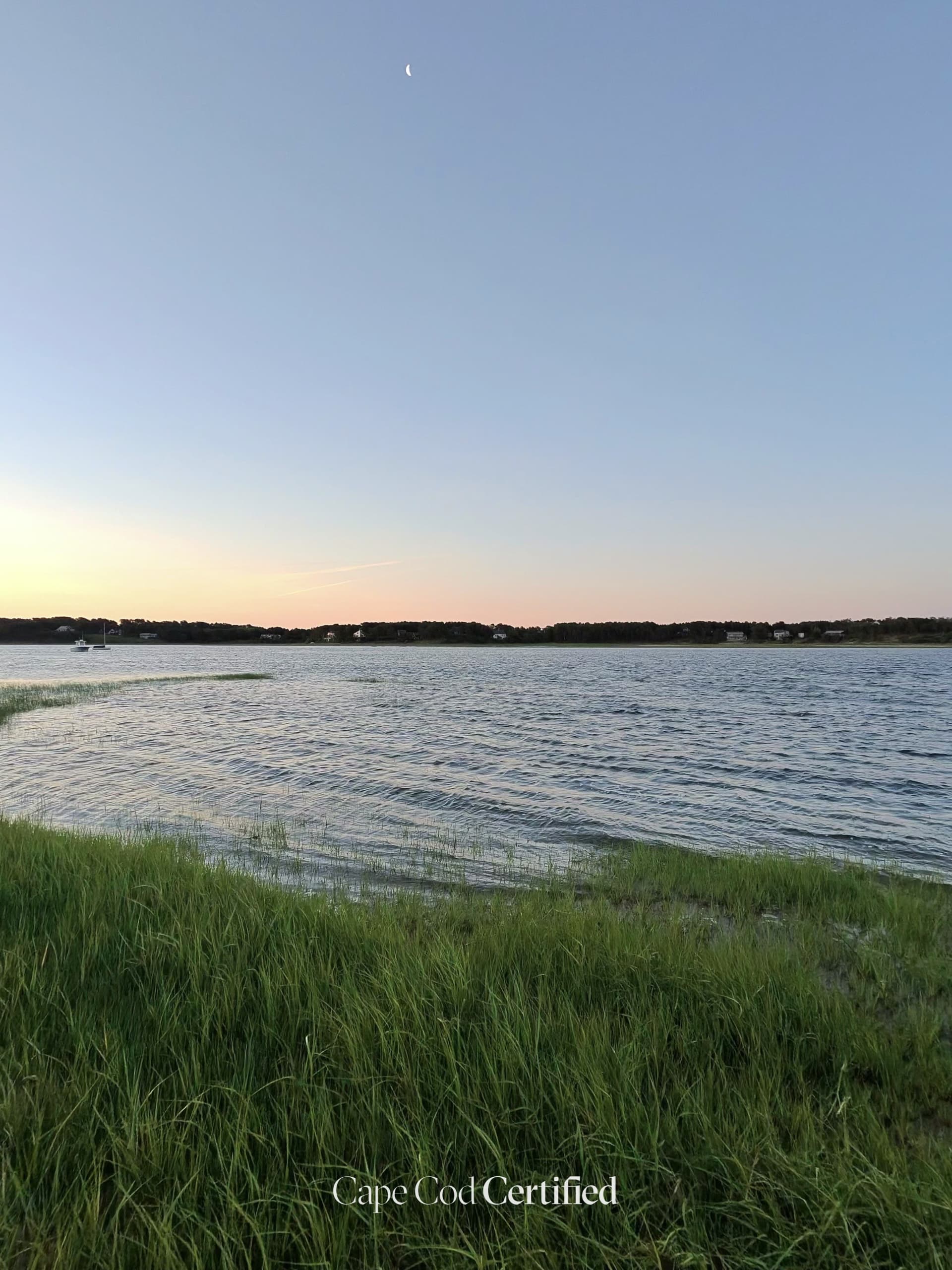
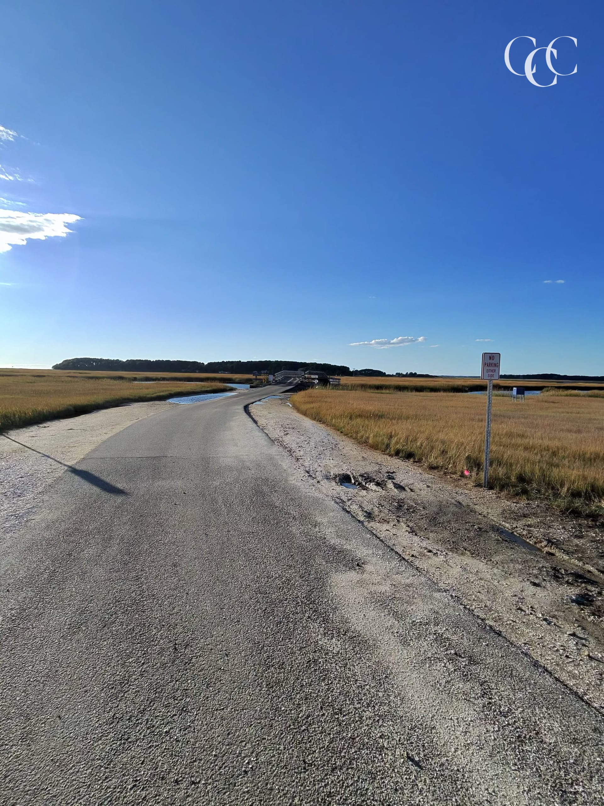
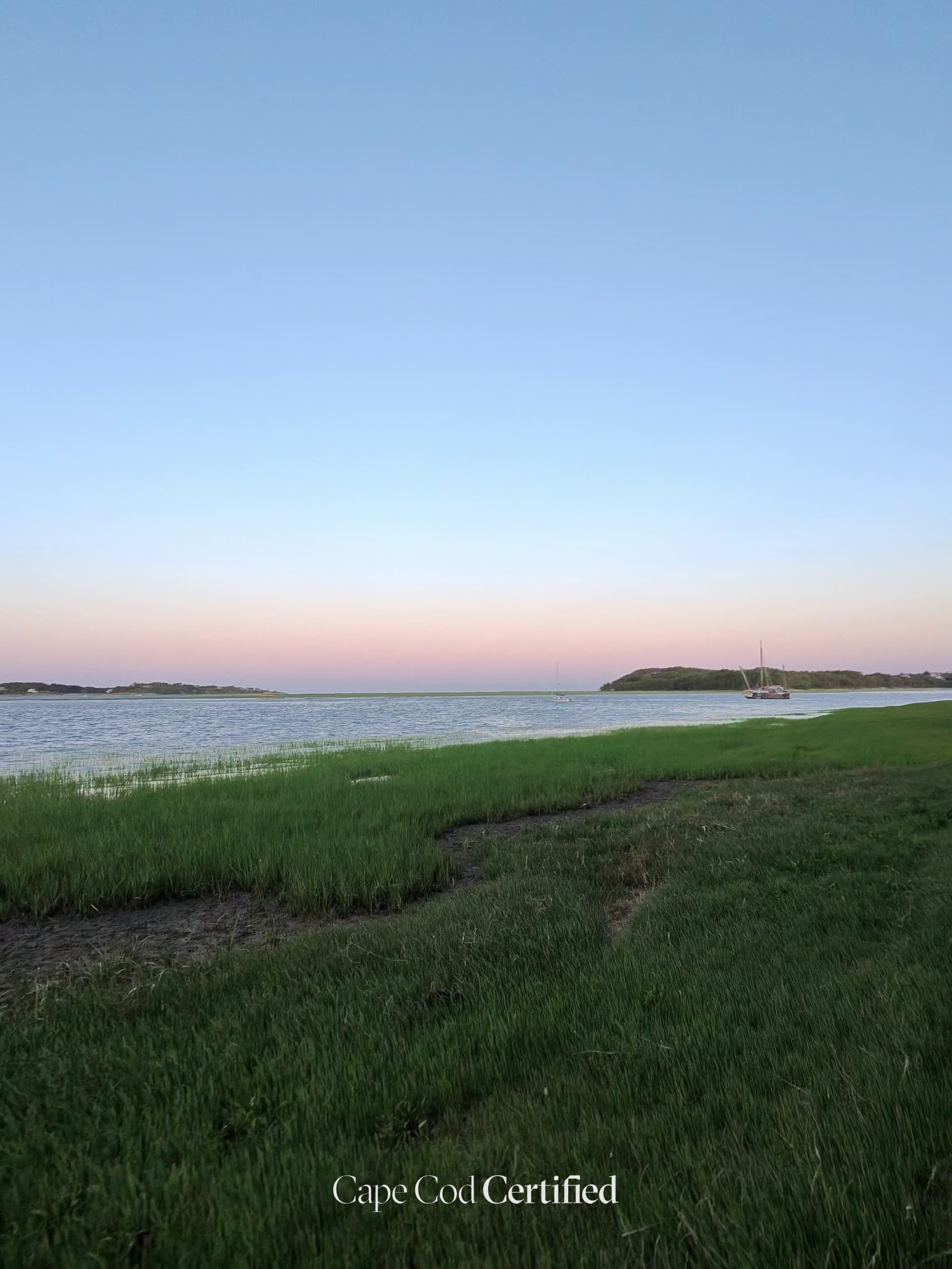
The Chequessett Neck Road dike crosses the Herring River between the Wellfleet mainland and Griffin Island, and has held back the tide since it was built in 1909 (National Park Service). It's now the heart of the Herring River tidal restoration: the dike and its three culverts are being replaced with a 165-foot bridge and tide gates that will open gradually to let salt water back into an estuary of nearly 1,000 acres. Stand at the edge of the road and you can see both worlds at once — Wellfleet Harbor on one side, the freshwater marsh on the other. The NPS says the finished bridge will add parking, pedestrian access and viewing and fishing platforms; until then, this is a construction zone, so look from a safe pull-off.
Plan your walk
Herring River Marsh Walk
Chequessett Neck Road at the Herring River dike, Wellfleet, MA 02667
When should you go?
Best time to go
Checking today’s weather and sun times…
What’s the trail like?
- Length
- Not noted
- Difficulty
- Easy
- Surface
- Mixed
- Dogs
- Not noted
- Kids
- Not noted
- Accessible
- Not noted
- Views
- Water
- Good for
- Walking, Birding, Hiking
What should you know before you go?
Parking
The National Park Service plans a new parking area on Duck Harbor Road with ADA-compliant access to the new bridge (nps.gov/caco). The dike is an active construction site — check current access before you go.
Managed by
Cape Cod National Seashore / Town of Wellfleet
What you'll see
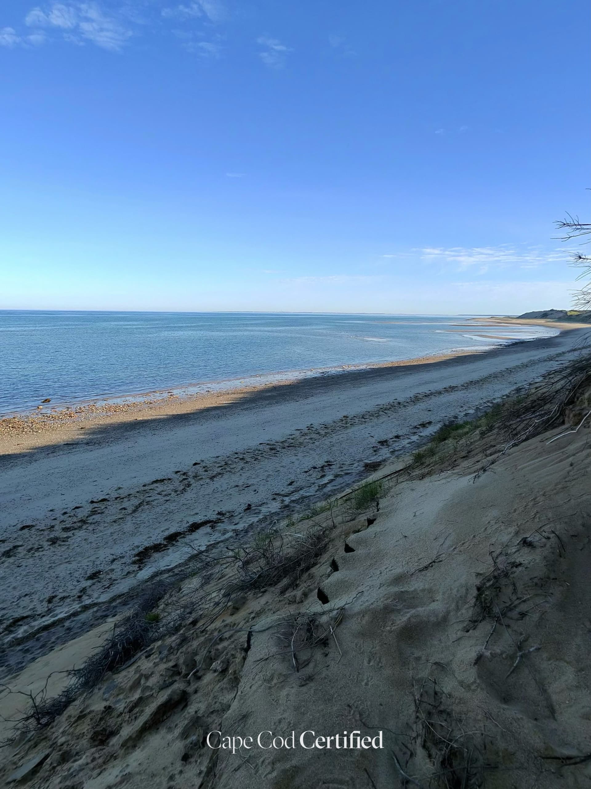
Salt marsh, Water views
Where is the trailhead?
Chequessett Neck Road at the Herring River dike, Wellfleet, MA 02667.