Skip to content

Real Cape Cod places, checked by us — not ranked by algorithms.

Explore what's here
Easy1.2 miWellfleet

Atlantic White Cedar Swamp Trail

Listed & VerifiedVerified Jun 19, 2026

Save 3 places you love with a free account. Create your free account

What is Atlantic White Cedar Swamp Trail like?

A 1.2-mile loop in the Marconi Station area of Cape Cod National Seashore that descends through stunted oak and pine into a mature woodland, then onto a roughly half-mile boardwalk winding through a rare Atlantic white cedar swamp, returning via the historic sandy 'Wireless Road.' Easy and shaded; about an hour. Starts at the Marconi Station overlook with views over the Outer Cape. Dogs are not permitted on this trail.

Plan your walk

Atlantic White Cedar Swamp Trail

Directions to the trailhead (opens in a new tab)

Marconi Station area, Marconi Site Road, South Wellfleet, MA 02663

Check conditions before you go. Trail details from Cape Cod National Seashore (NPS) (opens in a new tab)

When should you go?

Best time to go

Checking today’s weather and sun times…

Now41°FFog
Wind5 mphFrom the S

Weather and sun times from Open-Meteo for the nearest part of the Cape.

What’s the trail like?

Length
1.2 mi
Difficulty
Easy
Surface
Mixed
Dogs
Not allowed
Kids
Kid-friendly
Accessible
Not noted
Views
Not noted
Good for
Hiking, Walking, Boardwalk

What should you know before you go?

Parking

NPS parking at the Marconi Station overlook off Marconi Site Road.

Dogs

Not allowed

Managed by

Cape Cod National Seashore (NPS)

What you'll see

Forest, Kid-friendly

Where is the trailhead?

Marconi Station area, Marconi Site Road, South Wellfleet, MA 02663.

Get directions

Where else can you walk in Wellfleet?

  • Herring River Marsh Walk, WellfleetEasy

    Herring River Marsh Walk

    Mixed · Cape Cod National Seashore / Town of Wellfleet

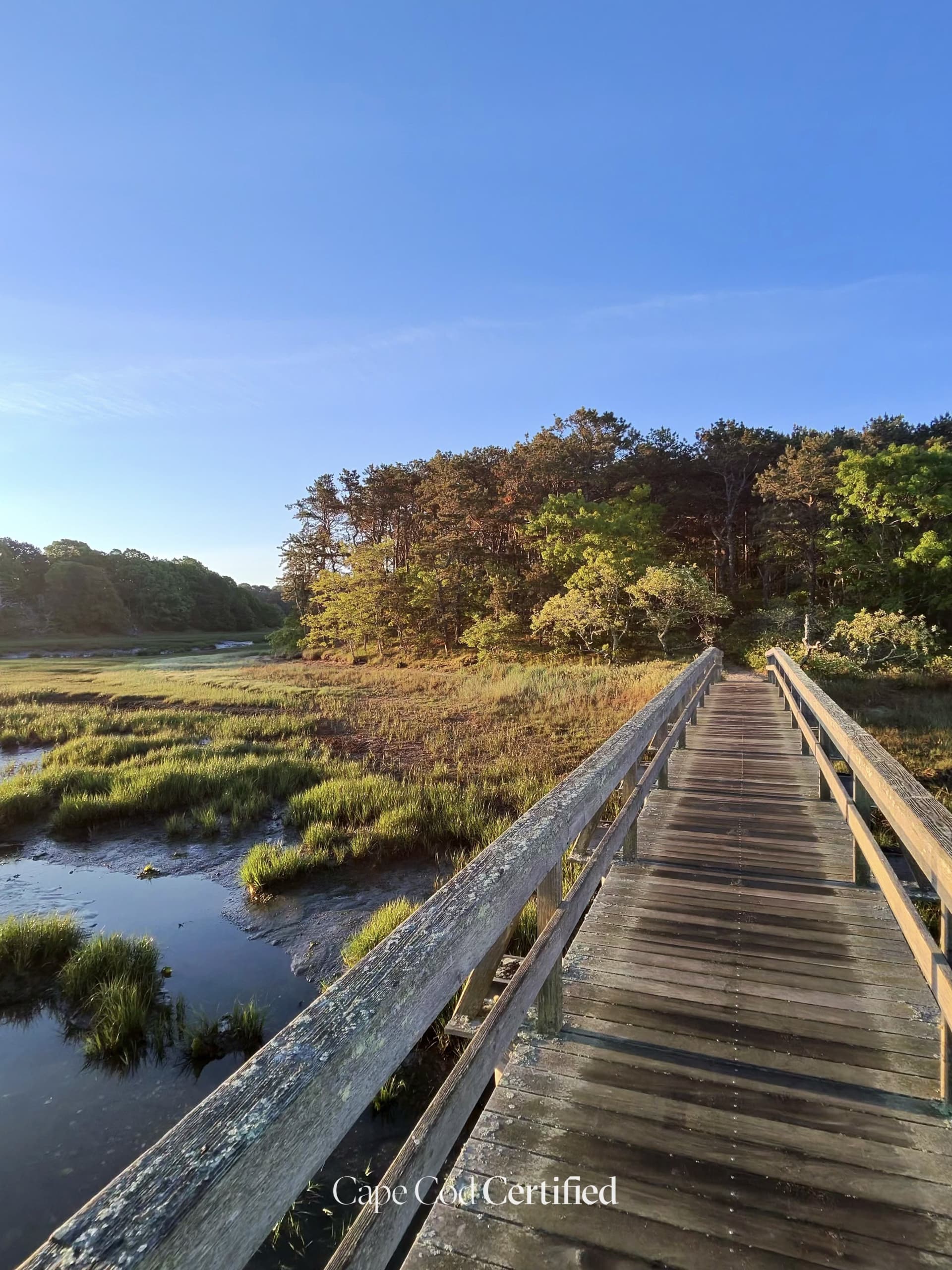
    The Chequessett Neck Road dike crosses the Herring River between the Wellfleet mainland and Griffin Island, and has held back the tide since it was built in 1909 (National Park Service). It's now the heart of the Herring River tidal restoration: the dike and its three culverts are being replaced with a 165-foot bridge and tide gates that will open gradually to let salt water back into an estuary of nearly 1,000 acres. Stand at the edge of the road and you can see both worlds at once — Wellfleet Harbor on one side, the freshwater marsh on the other. The NPS says the finished bridge will add parking, pedestrian access and viewing and fishing platforms; until then, this is a construction zone, so look from a safe pull-off.

    CCC Visited · Verified 2026-10-08

  • Duck Creek Conservation Area Trail, WellfleetEasy · 1.8 mi

    Duck Creek Conservation Area Trail

    Natural trail · Town of Wellfleet Conservation Commission

    A peaceful loop around the tidal Duck Creek estuary near Wellfleet Center. The trail winds through red maple swamp, upland oak forest, and along tidal creek edges rich with shorebirds. A hidden gem frequented by local birders and families looking for a short, easy nature walk close to town. Connects to the cultural energy of Wellfleet Center.

    CCC Visited · Verified 2026-10-05

  • Fox Island Marsh & Whalebone Point, WellfleetEasy · 2.14 mi

    Fox Island Marsh & Whalebone Point

    Natural trail · Wellfleet Conservation Trust (trails); adjoining Fox Island WMA is MassWildlife

    This Wellfleet Conservation Trust trail network runs through pitch pine and oak woods between Baker Road and Pilgrim Spring Road, opening onto wide views of Fox Island Marsh and Blackfish Creek. The Trust calls the vista from Whale Bone Point the jewel of the property, and its 2.14 miles of linked trails let you make the walk as short or as long as you like. Sandy paths follow the marsh edge, where the green grass meets the tidal water. The neighboring state Fox Island Wildlife Management Area is open for hiking and wildlife viewing, and also for hunting, so wear bright colors in the fall.

    CCC Visited · Verified 2026-10-06

  • Pleasant Point Landing, WellfleetEasy

    Pleasant Point Landing

    Sand · Town of Wellfleet

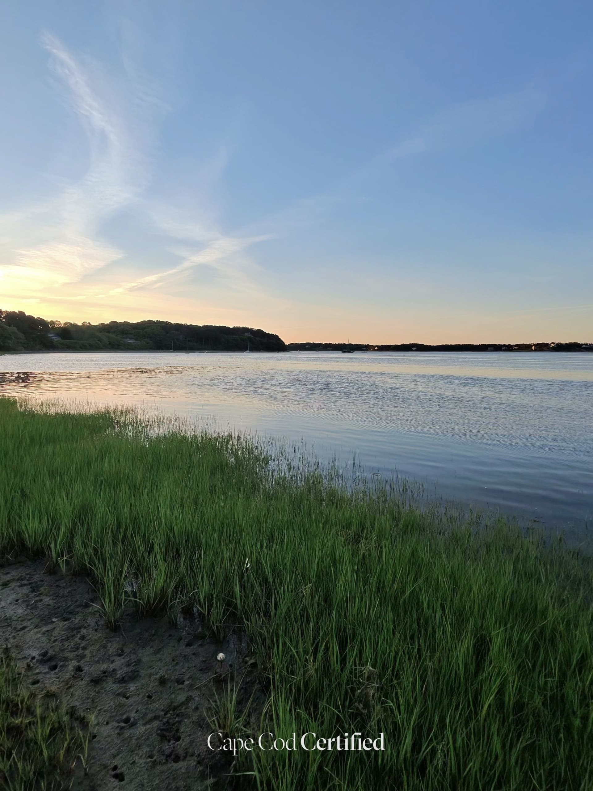
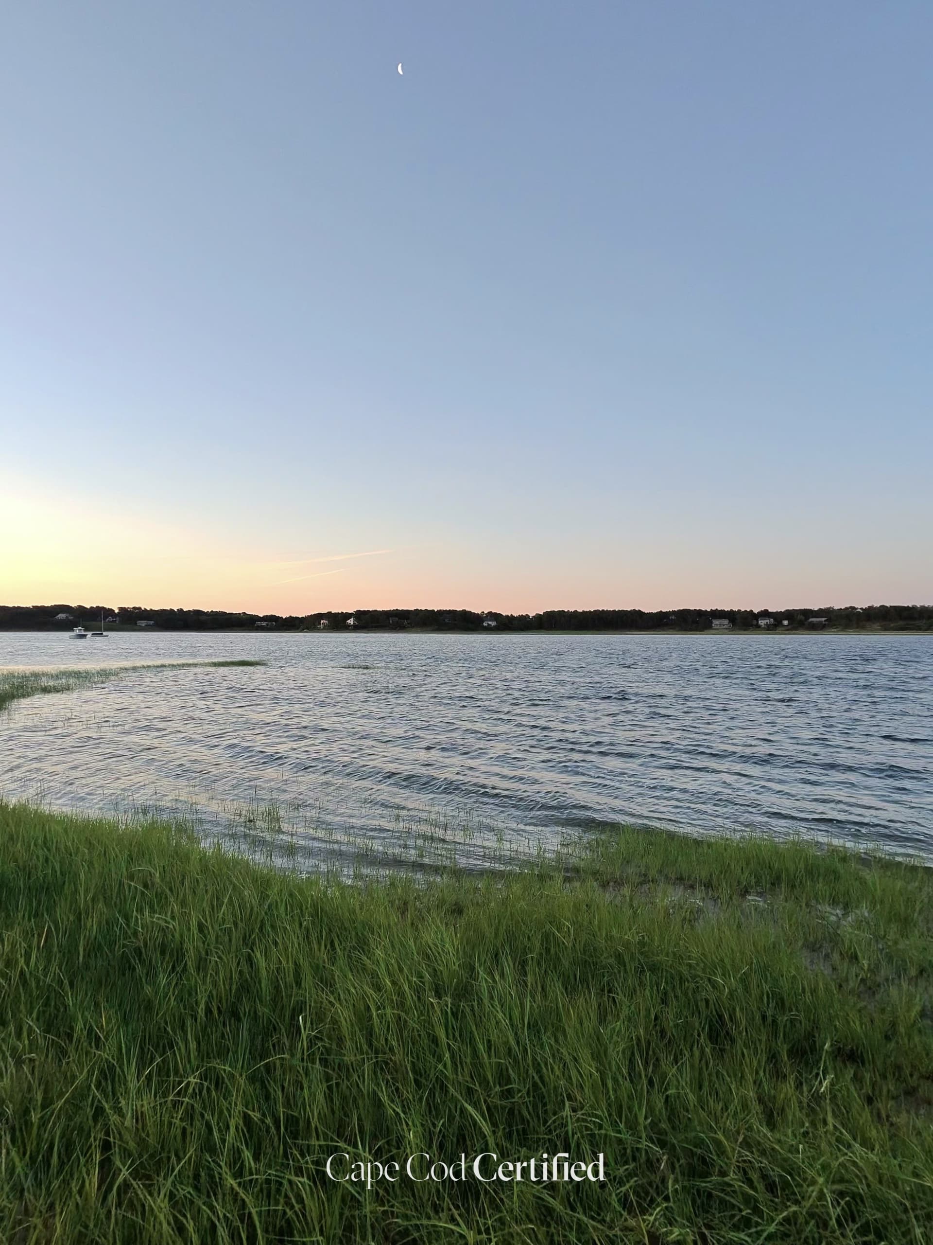
    Pleasant Point Landing is a small Town of Wellfleet landing on Blackfish Creek, at the end of a very short road off Pleasant Point Road. It's a quiet place to stand at the edge of the marsh grass and look out over the calm water, with a sandy path along the shore and boats on moorings offshore. The town directs shellfishermen here for the Blackfish Creek flats in the off-season, and the state lists it as a town launch site, which makes it handy for a kayak. Parking details weren't confirmed, so check with the town and be respectful of the neighboring homes.

    CCC Visited · Verified 2026-10-06

  • Lieutenant Island Road (Scenic Drive — Stop & View), WellfleetEasy

    Lieutenant Island Road (Scenic Drive — Stop & View)

    Town of Wellfleet (town-accepted road as far as the island)

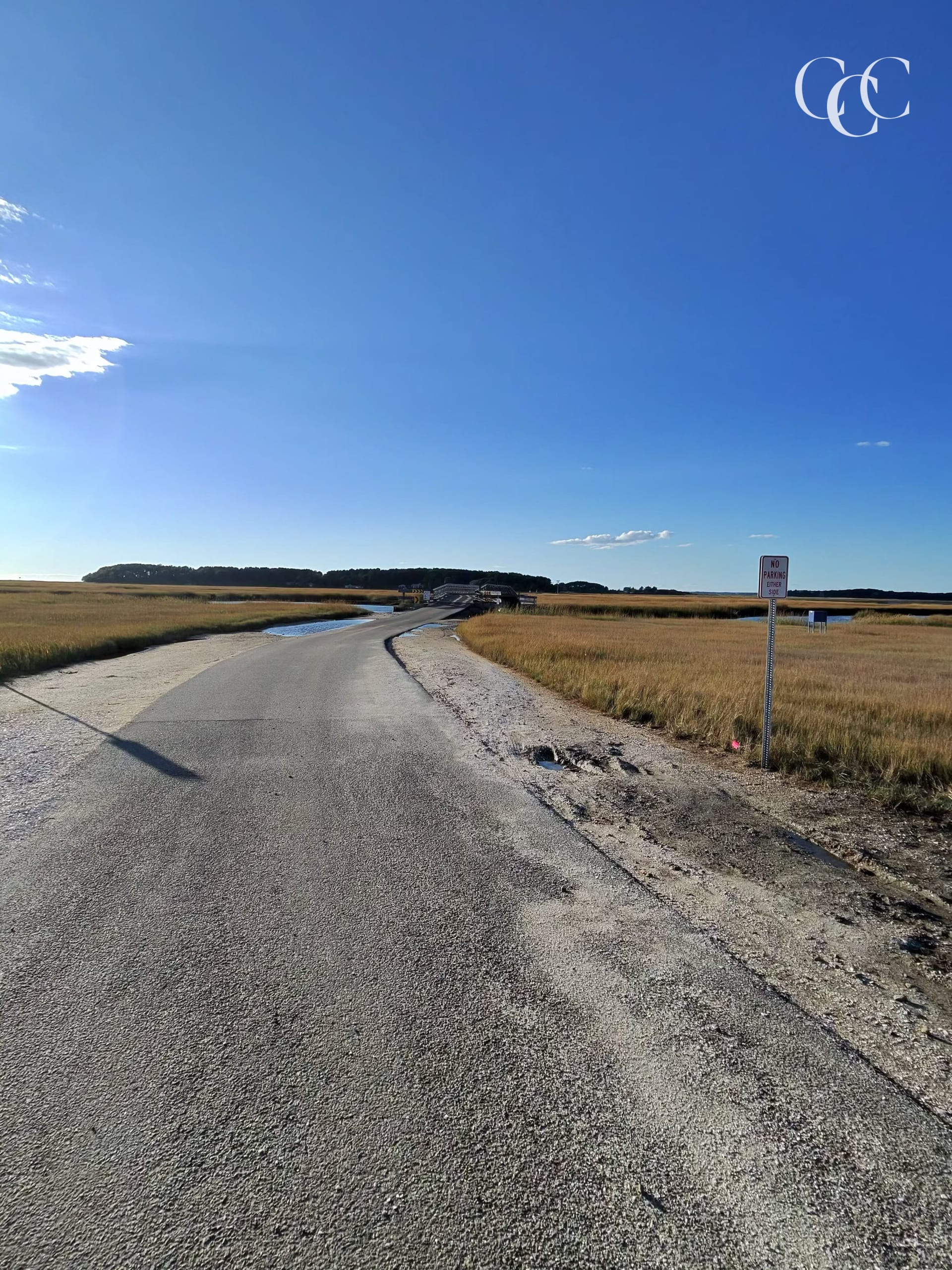
    Lieutenant Island Road runs west out of South Wellfleet on a low causeway across a wide salt marsh, crossing a small bridge before it reaches Lieutenant Island. In late afternoon the marsh grass turns gold, with Wellfleet Harbor showing beyond it. The bridge floods at high tide, so check the tide chart before you go. Once you reach the island the roads are posted private for residents and guests, so treat this as a slow drive out across the marsh and back.

    CCC Visited · Verified 2026-10-08

  • Wellfleet Bay Wildlife Sanctuary Trails, WellfleetEasy · 5 mi

    Wellfleet Bay Wildlife Sanctuary Trails

    Mixed · Mass Audubon

    Mass Audubon's flagship Outer Cape sanctuary, with about 5 miles of trails (including a 0.5-mile universally accessible loop) winding through salt marsh, pine woodland, open meadow, and barrier-beach habitats overlooking Wellfleet Harbor. Boardwalk sections cross the marsh, and the trails are a premier birding destination. A Nature Center (open 9am-5pm) anchors the property. Pets are not allowed; service animals welcome.

    CCC Visited · Verified 2026-06-25